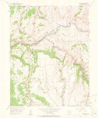
1954 Map of Sapinero
USGS Topo · Published 1963About this map
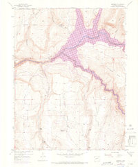
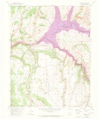
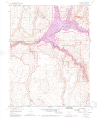
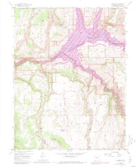
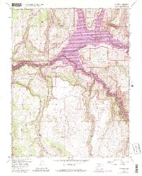
The Sapinero settlement and its surrounding high-country mesas are documented here in the mid-1950s, just before the landscape was irrevocably altered by reservoir construction. This survey captures the original course of the Gunnison River as it winds through the Black Canyon of the Gunnison River, a landscape defined by massive plateau features like Soap Mesa and Sapinero Mesa. The map reveals a mountain economy transition, showing the Sapinero Ranger Sta and Elizondo Ranch alongside an abandoned railroad line that once traced the river's edge. Local life is anchored by the Sapinero Cemetery and various beaver ponds along Willow Creek. This record provides a clear look at the valley's topography before the waters of the Blue Mesa Reservoir submerged many of these landmarks, making it a critical resource for understanding the region's lost geography.
Find a feature on this map
36 named features on this map. Tap any name to fly to it.
Don’t see what you’re looking for? This feature index may not catch every label — zoom into the map to look around manually.
Map Details
Editions of this 1954 Sapinero Map
10 editions found
Other maps of this area

1908 · Uncompahgre
USGS Topo · 1:125,000

1911 · Uncompahgre
USGS Topo · 1:125,000

1954 · West Elk Peak SW
USGS Topo · 1:24,000

1954 · Little Soap Park
USGS Topo · 1:24,000

1954 · Cebolla
USGS Topo · 1:24,000

1954 · Sapinero
USGS Topo · 1:24,000

1954 · Gateview
USGS Topo · 1:24,000

1956 · Curecanti Needle
USGS Topo · 1:24,000

1956 · Montrose
USGS Topo · 1:250,000

1957 · X Lazy F Ranch
USGS Topo · 1:24,000