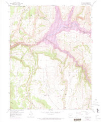
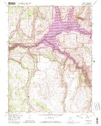
1954 Map of Sapinero
USGS Topo · Published 1972About this map
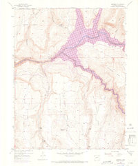
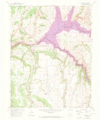
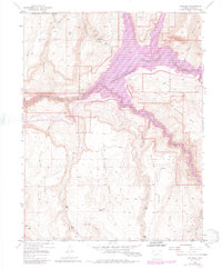
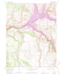
Blue Mesa Reservoir dominates the drainage of the Gunnison River in this detailed 1950s-era topography, which includes revisions through 1970. The rugged high-desert landscape is defined by massive tablelands like Soap Mesa, Sapinero Mesa, and Dillon Mesa, cut through by steep gulches and perennial water sources. The settlement of Sapinero and the nearby Sapinero Ranger Sta serve as the primary human focal points, while the Elizondo Ranch and various Beaver Ponds along Pine Creek indicate the agricultural and natural history of the area. The northern reaches of the Black Canyon of the Gunnison are visible where the river carves through the earth, a stark contrast to the sprawling reservoir created by modern damming. Numerous Ditch labels and remote Trail networks suggest a history of water management and backcountry access within the Gunnison National Forest.
Find a feature on this map
33 named features on this map. Tap any name to fly to it.
Don’t see what you’re looking for? This feature index may not catch every label — zoom into the map to look around manually.
Map Details
Editions of this 1954 Sapinero Map
10 editions found
Other maps of this area

1908 · Uncompahgre
USGS Topo · 1:125,000

1911 · Uncompahgre
USGS Topo · 1:125,000

1954 · West Elk Peak SW
USGS Topo · 1:24,000

1954 · Little Soap Park
USGS Topo · 1:24,000

1954 · Cebolla
USGS Topo · 1:24,000

1954 · Sapinero
USGS Topo · 1:24,000

1954 · Gateview
USGS Topo · 1:24,000

1956 · Curecanti Needle
USGS Topo · 1:24,000

1956 · Montrose
USGS Topo · 1:250,000

1957 · X Lazy F Ranch
USGS Topo · 1:24,000