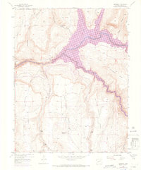
1954 Map of Sapinero
USGS Topo · Published 1973About this map
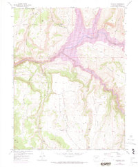
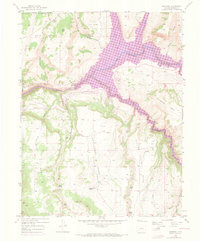
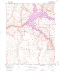
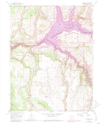
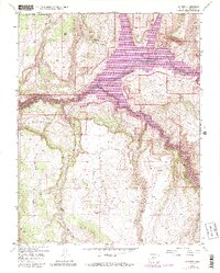
The Gunnison River carves a dramatic course through this landscape, marking the transition from the deep Black Canyon of the Gunnison River to the flooded expanse of the Blue Mesa Reservoir. This mid-century survey reveals the area as it was being transformed by water management, with the newer Morrow Point Reservoir beginning to fill at the western edge. High, flat plateaus like Soap Mesa and Sapinero Mesa dominate the topography, separated by steep gulches and creek beds.
Find a feature on this map
39 named features on this map. Tap any name to fly to it.
Don’t see what you’re looking for? This feature index may not catch every label — zoom into the map to look around manually.
Map Details
Editions of this 1954 Sapinero Map
10 editions found
Other maps of this area

1908 · Uncompahgre
USGS Topo · 1:125,000

1911 · Uncompahgre
USGS Topo · 1:125,000

1954 · West Elk Peak SW
USGS Topo · 1:24,000

1954 · Little Soap Park
USGS Topo · 1:24,000

1954 · Cebolla
USGS Topo · 1:24,000

1954 · Sapinero
USGS Topo · 1:24,000

1954 · Gateview
USGS Topo · 1:24,000

1956 · Curecanti Needle
USGS Topo · 1:24,000

1956 · Montrose
USGS Topo · 1:250,000

1957 · X Lazy F Ranch
USGS Topo · 1:24,000