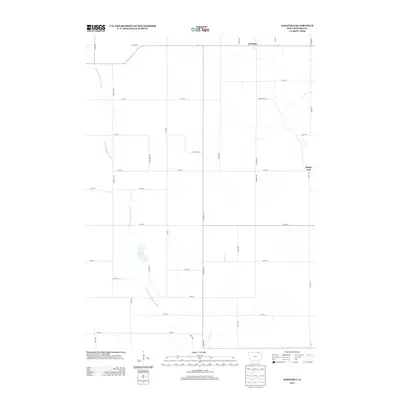
2013 Map of Saratoga
USGS Topo · Published 2013About this map
Saratoga and Maple Leaf anchor this rural landscape in Howard County, where agricultural grid roads intersect a complex natural drainage system. The Little Wapsipinicon River meanders through the western and central portions of the map, feeding into the protected wetland of Lyla Marsh. This area is defined by its low-lying topography and numerous small watercourses, including Mead Cr and Elk Cr, which suggest a terrain historically shaped by seasonal flooding and drainage. The persistence of small named settlements like Maple Leaf along Maple Leaf Rd reflects the enduring nature of Iowa's farming communities, where crossroads often served as vital social and economic hubs. The road network, including Lylah's Rd and Elma Rd, provides a clear view of the land division and access points for the surrounding farmsteads.
Find a feature on this map
34 named features on this map. Tap any name to fly to it.
Don’t see what you’re looking for? This feature index may not catch every label — zoom into the map to look around manually.
Map Details
Editions of this 2013 Saratoga Map
This is the sole edition of this map. No revisions or reprints were ever made.
Other maps of this area

1954 · Mason City
USGS Topo · 1:250,000

1957 · Mason City
USGS Topo · 1:250,000

1958 · Mason City
USGS Topo · 1:250,000

1971 · Colwell
USGS Topo · 1:24,000

1972 · Mc Intire
USGS Topo · 1:24,000

1972 · Riceville
USGS Topo · 1:24,000

1972 · Elma
USGS Topo · 1:24,000

1972 · Jerico
USGS Topo · 1:24,000

1981 · Lourdes
USGS Topo · 1:24,000

1981 · Lime Springs
USGS Topo · 1:24,000