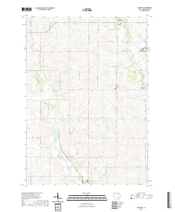
2022 Map of Saratoga
USGS Topo · Published 2022About this map
The Little Wapsipinicon River meanders southward through the agricultural heart of Howard County, defining the drainage patterns for this section of northeast Iowa. This landscape is characterized by its organized section lines and a network of gravel roads such as Garden Ave and Howard Ave. The small community of Saratoga anchors the northern portion of the sheet, while the northern edge of Elma appears at the southern border. The presence of several established burial grounds, including the Saratoga Township Cem and Saint Pauls Lutheran Church Cem near Maple Leaf, provides significant points of interest for genealogical research. The Wapsi-Great Western Trl cuts diagonally across the lower townships, following a former rail corridor that once connected these rural outposts to the wider regional economy through nearby Mead Cr.
Find a feature on this map
42 named features on this map. Tap any name to fly to it.
Don’t see what you’re looking for? This feature index may not catch every label — zoom into the map to look around manually.
Map Details
Editions of this 2022 Saratoga Map
This is the sole edition of this map. No revisions or reprints were ever made.
Other maps of this area

1954 · Mason City
USGS Topo · 1:250,000

1957 · Mason City
USGS Topo · 1:250,000

1958 · Mason City
USGS Topo · 1:250,000

1971 · Colwell
USGS Topo · 1:24,000

1972 · Mc Intire
USGS Topo · 1:24,000

1972 · Riceville
USGS Topo · 1:24,000

1972 · Elma
USGS Topo · 1:24,000

1972 · Jerico
USGS Topo · 1:24,000

1981 · Lourdes
USGS Topo · 1:24,000

1981 · Lime Springs
USGS Topo · 1:24,000