
1952 Map of Savanna
USGS Topo · Published 1954About this map
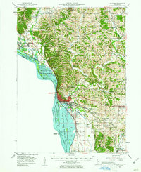
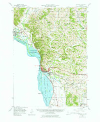
The Mississippi River corridor dominates this mid-century landscape, serving as a vital artery for the Chicago Milwaukee St Paul and Pacific and Burlington railroads. The town of Savanna serves as a hub, positioned where the Savanna Ordnance Depot and large conservation areas like the Mississippi Palisades State Park line the river bluffs. This era shows a transition in rural education, with numerous schoolhouses such as Walnut Grove Sch and Pleasant Hill Sch still dotting the countryside, while labels like Moffett Sch and Clifton Sch signal the gradual consolidation of local districts.
Find a feature on this map
69 named features on this map. Tap any name to fly to it.
Don’t see what you’re looking for? This feature index may not catch every label — zoom into the map to look around manually.
Map Details
Editions of this 1952 Savanna Map
3 editions found
Other maps of this area

1891 · Clinton
USGS Topo · 1:62,500

1892 · Goose Lake
USGS Topo · 1:62,500

1892 · Savanna
USGS Topo · 1:62,500

1894 · Goose Lake
USGS Topo · 1:62,500

1894 · Clinton
USGS Topo · 1:62,500

1899 · Clinton
USGS Topo · 1:125,000

1911 · Elizabeth
USGS Topo · 1:62,500

1911 · Galena
USGS Topo · 1:62,500

1913 · Galena
USGS Topo · 1:62,500

1934 · Morrison
USGS Topo · 1:48,000