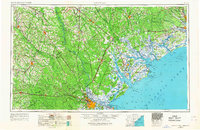
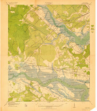
1957 Map of Savannah
USGS Topo · Published 1967About this map
The Savannah River serves as the central artery of this mid-century landscape, defining the state boundary and supporting the complex marshlands of the Savannah National Wildlife Refuge. The map captures a period of significant military presence along the Georgia and South Carolina coast, anchored by the Fort Stewart Military Reservation and the Parris Island Marine Corps Recruit Depot. Strategic infrastructure like Hunter Air Force Base near Savannah and Charleston Air Force Base to the north highlight the Cold War era's regional importance.
Find a feature on this map
43 named features on this map. Tap any name to fly to it.
Don’t see what you’re looking for? This feature index may not catch every label — zoom into the map to look around manually.
Map Details
Editions of this 1957 Savannah Map
4 editions found
Other maps of this area
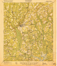
1918 · Walterboro
USGS Topo · 1:62,500
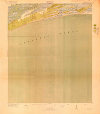
1918 · Kiawah Island
USGS Topo · 1:21,120
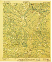
1918 · Hinesville
USGS Topo · 1:62,500
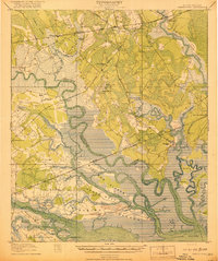
1918 · Green Pond
USGS Topo · 1:62,500
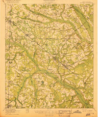
1918 · Varnville
USGS Topo · 1:62,500
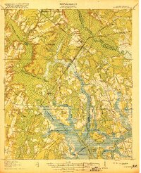
1918 · Yemassee
USGS Topo · 1:62,500
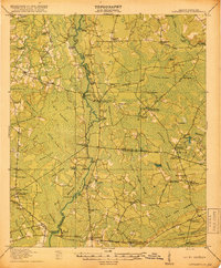
1918 · Cottageville
USGS Topo · 1:62,500
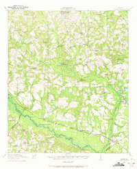
1918 · Oliver
USGS Topo · 1:62,500

1919 · Ladson
USGS Topo · 1:21,120
1919 · Johns Island
USGS Topo · 1:21,120