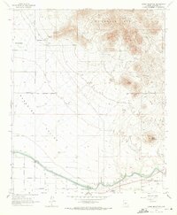
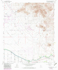
1964 Map of Sawik Mountain
USGS Topo · Published 1971About this map
Taliesin West sits at the foot of the McDowell Mts in this early 1960s survey, marking the intersection of architectural history and the high desert landscape. The map captures the transitional character of eastern Scottsdale and the vast Paradise Valley, showing a landscape still defined more by topography and infrastructure than suburban sprawl. To the east, the Salt River Indian Reservation Boundary separates the burgeoning municipality from indigenous lands, where Sawik Mountain stands as a prominent landmark.
Find a feature on this map
26 named features on this map. Tap any name to fly to it.
Don’t see what you’re looking for? This feature index may not catch every label — zoom into the map to look around manually.
Map Details
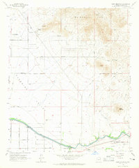
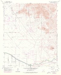
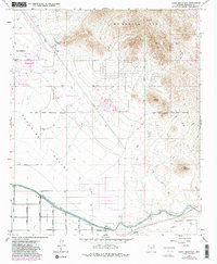
Editions of this 1964 Sawik Mountain Map
5 editions found
Other maps of this area

1904 · Camelback
USGS Topo · 1:62,500

1904 · Desert Well
USGS Topo · 1:62,500

1904 · Ft. McDowell
USGS Topo · 1:62,500

1906 · Camelsback
USGS Topo · 1:62,500

1906 · Ft. McDowell
USGS Topo · 1:62,500

1906 · Desert Well
USGS Topo · 1:62,500

1913 · Mesa
USGS Topo · 1:62,500

1915 · Mesa
USGS Topo · 1:62,500

1930 · Cave Creek
USGS Topo · 1:125,000

1939 · Cave Creek
USGS Topo · 1:125,000