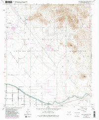
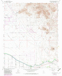
1964 Map of Sawik Mountain
USGS Topo · Published 1983About this map
Scottsdale and the architectural landmark of Taliesin West anchor the western edge of this desert landscape, where the urban grid begins its push into the surrounding basins. The terrain is defined by the sharp rise of the McDowell Mts and the isolated peak of Sawik Mountain, separated by the broad alluvial floor of Paradise Valley. This survey captures the region during a period of transition, showing established infrastructure like the Arizona Canal alongside developing thoroughfares such as Shea Boulevard and Alma School Road.
Find a feature on this map
27 named features on this map. Tap any name to fly to it.
Don’t see what you’re looking for? This feature index may not catch every label — zoom into the map to look around manually.
Map Details
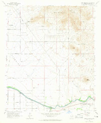
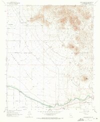
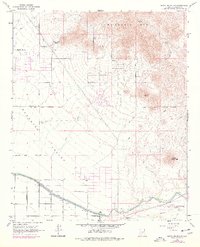
Editions of this 1964 Sawik Mountain Map
5 editions found
Other maps of this area

1904 · Camelback
USGS Topo · 1:62,500

1904 · Desert Well
USGS Topo · 1:62,500

1904 · Ft. McDowell
USGS Topo · 1:62,500

1906 · Camelsback
USGS Topo · 1:62,500

1906 · Ft. McDowell
USGS Topo · 1:62,500

1906 · Desert Well
USGS Topo · 1:62,500

1913 · Mesa
USGS Topo · 1:62,500

1915 · Mesa
USGS Topo · 1:62,500

1930 · Cave Creek
USGS Topo · 1:125,000

1939 · Cave Creek
USGS Topo · 1:125,000