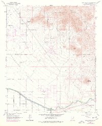
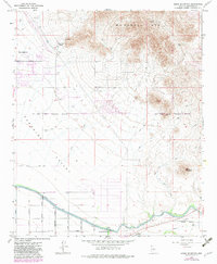
1964 Map of Sawik Mountain
USGS Topo · Published 1977About this map
The architectural landmark Taliesin West sits at the base of the McDowell Mountains, overlooking the developing suburbs of Scottsdale. This mid-1960s survey, updated with late-1970s suburban growth shown in purple, illustrates the desert's transformation as residential tracts push against the Salt River Indian Reservation Boundary. Evidence of the region's deep history is preserved near the mountains at a site marked for Petroglyphs, while modern infrastructure like the Arizona Canal and the Beeline Dragway define the lower landscape. The transition from open desert to organized streets is marked by major corridors like Shea Boulevard and Cactus Road, while the southern edge follows the life-giving water systems near Evergreen Station and several Gaging Stations.
Find a feature on this map
24 named features on this map. Tap any name to fly to it.
Don’t see what you’re looking for? This feature index may not catch every label — zoom into the map to look around manually.
Map Details
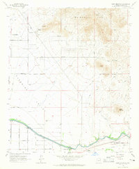
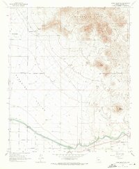
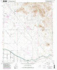
Editions of this 1964 Sawik Mountain Map
5 editions found
Other maps of this area

1904 · Camelback
USGS Topo · 1:62,500

1904 · Desert Well
USGS Topo · 1:62,500

1904 · Ft. McDowell
USGS Topo · 1:62,500

1906 · Camelsback
USGS Topo · 1:62,500

1906 · Ft. McDowell
USGS Topo · 1:62,500

1906 · Desert Well
USGS Topo · 1:62,500

1913 · Mesa
USGS Topo · 1:62,500

1915 · Mesa
USGS Topo · 1:62,500

1930 · Cave Creek
USGS Topo · 1:125,000

1939 · Cave Creek
USGS Topo · 1:125,000