
1962 Map of Sawtooth Mountain
USGS Topo · Published 1965About this map
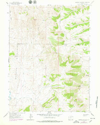
The Bear River Divide dominates this high-altitude landscape along the border of Lincoln and Uinta Counties. In the early 1960s, this area remained largely defined by its natural drainage systems, where Cottonwood Creek and Alkali Creek flow through the western basins while the Bear River meanders to the east. Distinctive geological markers such as The Pinnacle and The Hogback provide clear navigational points for those traveling the network of unpaved routes, including the Jeep Trail and Pack Trail that cut through the elevations.
Find a feature on this map
22 named features on this map. Tap any name to fly to it.
Don’t see what you’re looking for? This feature index may not catch every label — zoom into the map to look around manually.
Map Details
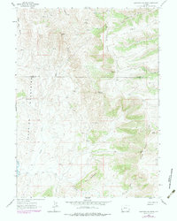
Editions of this 1962 Sawtooth Mountain Map
3 editions found
Other maps of this area

1912 · Randolph
USGS Topo · 1:125,000

1954 · Ogden
USGS Topo · 1:250,000

1958 · Ogden
USGS Topo · 1:250,000

1960 · Ogden
USGS Topo · 1:250,000

1962 · Bell Butte NE
USGS Topo · 1:24,000

1962 · Windy Point
USGS Topo · 1:24,000

1962 · Bell Butte
USGS Topo · 1:24,000

1965 · Little Dee Creek
USGS Topo · 1:24,000

1965 · Three Forks
USGS Topo · 1:24,000

1968 · Rex Peak
USGS Topo · 1:24,000