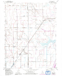
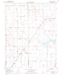
1952 Map of Saxon
USGS Topo · Published 1993About this map
Agricultural development and water management systems define this landscape along the border of Solano and Yolo counties in the mid-20th century. Large-scale ranching is evident through family-named landmarks such as the Maxwell Ranch, Dana Ranch, and Gilde Ranch. The eastern portion of the map is dominated by the Yolo Bypass, a massive flood control feature that includes the Sacramento River Deep Water Ship Channel and the Toe Drain. The reliance on irrigation and infrastructure is marked by numerous Pump House and Siphon labels, along with an extensive system of levees. Local history is anchored at Tremont Hall and the nearby Tremont Cemetery, while the small settlement of Yolano sits at a rail junction near several Gas Well sites, illustrating the mix of ranching, transportation, and early energy extraction that shaped this part of the Central Valley.
Find a feature on this map
28 named features on this map. Tap any name to fly to it.
Don’t see what you’re looking for? This feature index may not catch every label — zoom into the map to look around manually.
Map Details
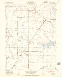
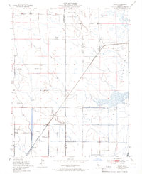
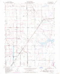
Editions of this 1952 Saxon Map
5 editions found
Other maps of this area

1907 · Woodland
USGS Topo · 1:62,500

1907 · Davisville
USGS Topo · 1:62,500

1908 · Vacaville
USGS Topo · 1:62,500

1908 · Courtland
USGS Topo · 1:62,500

1915 · Swingle
USGS Topo · 1:31,680

1915 · Merritt
USGS Topo · 1:31,680

1916 · Dixon
USGS Topo · 1:31,680

1916 · Cache Slough
USGS Topo · 1:31,680
1916 · Lovdal
USGS Topo · 1:31,680

1916 · Vorden
USGS Topo · 1:31,680