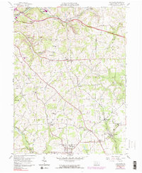
1958 Map of Saxonburg
USGS Topo · Published 1991About this map
Saxonburg anchors this mid-century topographic record of Butler County, revealing a landscape defined by its industrial rail network and scattered rural communities. Major rail lines including the Bessemer and Lake Erie, Baltimore and Ohio, and Penn Central converge in the north near East Butler and Bonnie, facilitating the transport of materials from local operations such as the Strip Mine located near Carbon Center. The map provides a detailed view of the religious and educational infrastructure of the era, highlighting numerous family and parish sites like St Michael Cem, B'nai Abraham Cem, and St Josephs Ch.
Find a feature on this map
69 named features on this map. Tap any name to fly to it.
Don’t see what you’re looking for? This feature index may not catch every label — zoom into the map to look around manually.
Map Details
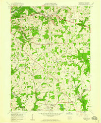
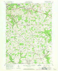
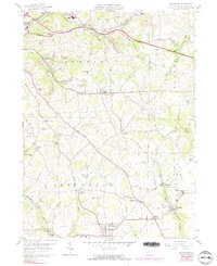
Editions of this 1958 Saxonburg Map
4 editions found
Other maps of this area

1900 · Kittanning
USGS Topo · 1:62,500

1902 · Kittanning
USGS Topo · 1:62,500

1907 · Freeport
USGS Topo · 1:62,500

1908 · New Kensington
USGS Topo · 1:62,500

1909 · Freeport
USGS Topo · 1:62,500

1909 · Butler
USGS Topo · 1:62,500

1910 · New Kensington
USGS Topo · 1:62,500

1911 · Butler
USGS Topo · 1:62,500

1950 · Valencia
USGS Topo · 1:24,000

1953 · Pittsburgh
USGS Topo · 1:250,000