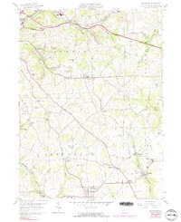
1958 Map of Saxonburg
USGS Topo · Published 1991About this map
Saxonburg borough serves as the southern anchor of this landscape, where the agricultural traditions of Jefferson and Summit townships met the industrial demands of the mid-20th century. The terrain is marked by numerous active and former extractive sites, with Strip Mine excavations and Gas Well locations appearing frequently alongside established rural communities. This survey reveals a dense network of local institutions, including the Winfield-Clinton School and several sectarian landmarks such as St Josephs Church and the B'nai Abraham Cemetery.
Find a feature on this map
58 named features on this map. Tap any name to fly to it.
Don’t see what you’re looking for? This feature index may not catch every label — zoom into the map to look around manually.
Map Details
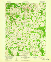
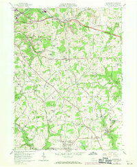
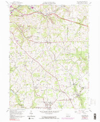
Editions of this 1958 Saxonburg Map
4 editions found
Other maps of this area

1900 · Kittanning
USGS Topo · 1:62,500

1902 · Kittanning
USGS Topo · 1:62,500

1907 · Freeport
USGS Topo · 1:62,500

1908 · New Kensington
USGS Topo · 1:62,500

1909 · Freeport
USGS Topo · 1:62,500

1909 · Butler
USGS Topo · 1:62,500

1910 · New Kensington
USGS Topo · 1:62,500

1911 · Butler
USGS Topo · 1:62,500

1950 · Valencia
USGS Topo · 1:24,000

1953 · Pittsburgh
USGS Topo · 1:250,000