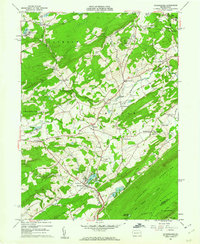
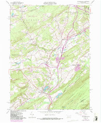
1960 Map of Saylorsburg
USGS Topo · Published 1962About this map
Saylors Lake and the surrounding valley floor serve as a focal point for this 1960 field-checked survey of Monroe County. The landscape is defined by a dense network of small rural settlements including Saylorsburg, Sciota, and Snydersville, which are connected by winding roads through the foothills of the Kittatinny Mountains. Evidence of the region's earlier industrial and transport history is visible in the Old Railroad Grade and numerous scattered Gravel Pits and Sand and Gravel Pits.
Find a feature on this map
61 named features on this map. Tap any name to fly to it.
Don’t see what you’re looking for? This feature index may not catch every label — zoom into the map to look around manually.
Map Details
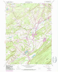
Editions of this 1960 Saylorsburg Map
6 editions found
Other maps of this area

1891 · Delaware Water Gap
USGS Topo · 1:62,500

1893 · Delaware Water Gap
USGS Topo · 1:62,500

1914 · Wind Gap
USGS Topo · 1:62,500

1916 · Wind Gap
USGS Topo · 1:62,500

1919 · Pocono
USGS Topo · 1:62,500

1921 · Pocono
USGS Topo · 1:62,500

1923 · Pocono
USGS Topo · 1:62,500

1924 · Bushkill
USGS Topo · 1:48,000

1936 · Delaware Water Gap
USGS Topo · 1:48,000

1941 · Delaware Water Gap
USGS Topo · 1:62,500
Featured Places
- Plainfield Township, PA
- Chestnuthill Township, PA
- Pocono Township, PA
- Sciota, Hamilton Township
- Stroud Township, PA