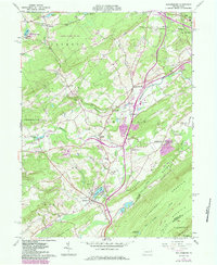
1960 Map of Saylorsburg
USGS Topo · Published 1984About this map
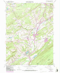
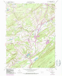
Kittatinny Mountain and Blue Mountain dominate the southern landscape, creating a distinct natural barrier that shaped early settlement patterns in Monroe and Northampton counties. The village of Saylorsburg sits at a critical junction near the edge of these ridges, where historical roads and an Old Railroad grade navigate the gap. This 1960 era survey, with revisions into the early 1980s, captures the rural character of the region before significant modern development, showing a network of community-focused landmarks like the Township Sch, County Home, and numerous local parishes including Jackson Ch and St Johns Ch.
Find a feature on this map
73 named features on this map. Tap any name to fly to it.
Don’t see what you’re looking for? This feature index may not catch every label — zoom into the map to look around manually.
Map Details
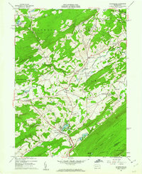
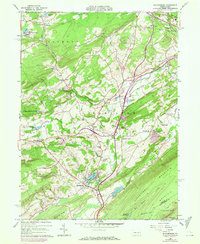
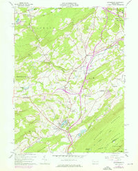
Editions of this 1960 Saylorsburg Map
6 editions found
Other maps of this area

1891 · Delaware Water Gap
USGS Topo · 1:62,500

1893 · Delaware Water Gap
USGS Topo · 1:62,500

1914 · Wind Gap
USGS Topo · 1:62,500

1916 · Wind Gap
USGS Topo · 1:62,500

1919 · Pocono
USGS Topo · 1:62,500

1921 · Pocono
USGS Topo · 1:62,500

1923 · Pocono
USGS Topo · 1:62,500

1924 · Bushkill
USGS Topo · 1:48,000

1936 · Delaware Water Gap
USGS Topo · 1:48,000

1941 · Delaware Water Gap
USGS Topo · 1:62,500
Featured Places
- Plainfield Township, PA
- Chestnuthill Township, PA
- Pocono Township, PA
- Sciota, Hamilton Township
- Stroud Township, PA