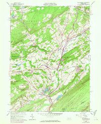
1960 Map of Saylorsburg
USGS Topo · Published 1972About this map
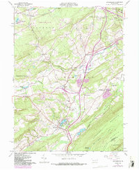
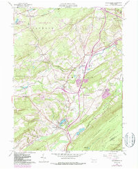
Saylorsburg sits at the foot of Blue Mountain in this 1960s study, serving as a gateway to the southern Pocono region before suburban expansion fully transformed the landscape. The map captures the intricate drainage patterns of the McMichael Creek and Appenzell Creek valleys, where small agricultural hamlets like Sciota and Hamilton Square anchor a rural road network. Significant social landmarks of the era are recorded, including the County Home and Township Sch, alongside spiritual centers such as St Lukes Ch and Cherry Valley Ch.
Find a feature on this map
62 named features on this map. Tap any name to fly to it.
Don’t see what you’re looking for? This feature index may not catch every label — zoom into the map to look around manually.
Map Details
Editions of this 1960 Saylorsburg Map
6 editions found
Other maps of this area

1891 · Delaware Water Gap
USGS Topo · 1:62,500

1893 · Delaware Water Gap
USGS Topo · 1:62,500

1914 · Wind Gap
USGS Topo · 1:62,500

1916 · Wind Gap
USGS Topo · 1:62,500

1919 · Pocono
USGS Topo · 1:62,500

1921 · Pocono
USGS Topo · 1:62,500

1923 · Pocono
USGS Topo · 1:62,500

1924 · Bushkill
USGS Topo · 1:48,000

1936 · Delaware Water Gap
USGS Topo · 1:48,000

1941 · Delaware Water Gap
USGS Topo · 1:62,500
Featured Places
- Plainfield Township, PA
- Chestnuthill Township, PA
- Pocono Township, PA
- Sciota, Hamilton Township
- Stroud Township, PA