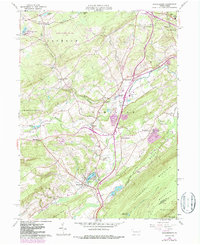
1960 Map of Saylorsburg
USGS Topo · Published 1987About this map
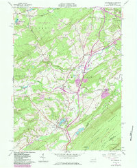
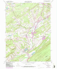
The village of Saylorsburg sits at the foot of Blue Mountain in this topographic study of Monroe County, featuring revisions from the early 1980s that overlay the original 1960 fieldwork. The landscape is defined by the steep rise of Kittatinny Mountain and the waters of Saylors Lake. Settlement patterns follow the winding course of McMichael Creek and Cherry Creek, where small communities like Sciota, Snydersville, and Kellersville cluster along the local road network. Genealogy researchers can find numerous local landmarks including St Johns Ch, Mt Calvary Cem, and the Township Sch. The map also captures mid-century leisure and infrastructure, from the Blue Mtn Golf Course and a Drive-in Theater to the sprawling Game Lands No 186 and the historic Pocono Railroad line cutting through the northern gap.
Find a feature on this map
65 named features on this map. Tap any name to fly to it.
Don’t see what you’re looking for? This feature index may not catch every label — zoom into the map to look around manually.
Map Details
Editions of this 1960 Saylorsburg Map
6 editions found
Other maps of this area

1891 · Delaware Water Gap
USGS Topo · 1:62,500

1893 · Delaware Water Gap
USGS Topo · 1:62,500

1914 · Wind Gap
USGS Topo · 1:62,500

1916 · Wind Gap
USGS Topo · 1:62,500

1919 · Pocono
USGS Topo · 1:62,500

1921 · Pocono
USGS Topo · 1:62,500

1923 · Pocono
USGS Topo · 1:62,500

1924 · Bushkill
USGS Topo · 1:48,000

1936 · Delaware Water Gap
USGS Topo · 1:48,000

1941 · Delaware Water Gap
USGS Topo · 1:62,500
Featured Places
- Plainfield Township, PA
- Chestnuthill Township, PA
- Pocono Township, PA
- Sciota, Hamilton Township
- Stroud Township, PA