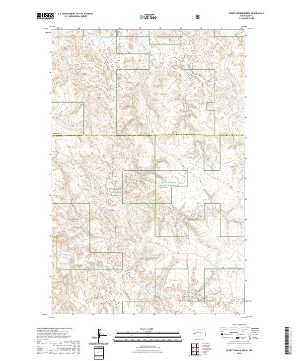
2024 Map of Scairt Woman Draw
USGS Topo · Published 2024About this map
The Little Missouri National Grassland dominates this section of the North Dakota badlands, where the landscape is defined by an intricate network of drainage systems. The map is centered on Scairt Woman Draw, a prominent topographic feature that feeds into the broader watershed of the region. Waterways like Beicegel Creek, Magpie Creek, and Spring Creek carve through the terrain, illustrating the erosional patterns characteristic of this part of the state.
Find a feature on this map
17 named features on this map. Tap any name to fly to it.
Don’t see what you’re looking for? This feature index may not catch every label — zoom into the map to look around manually.
Map Details
Editions of this 2024 Scairt Woman Draw Map
This is the sole edition of this map. No revisions or reprints were ever made.
Other maps of this area

1953 · Watford City
USGS Topo · 1:250,000

1957 · Watford City
USGS Topo · 1:250,000

1963 · Gorham NW
USGS Topo · 1:24,000

1963 · Fairfield
USGS Topo · 1:24,000

1963 · Gorham
USGS Topo · 1:24,000

1967 · Watford City
USGS Topo · 1:250,000

1974 · Wolf Coulee
USGS Topo · 1:24,000

1974 · Grassy Butte SW
USGS Topo · 1:24,000

1974 · Squaretop Butte
USGS Topo · 1:24,000

1974 · Buckskin Butte
USGS Topo · 1:24,000