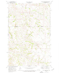
1974 Map of Scairt Woman Draw
USGS Topo · Published 1977About this map
Beicegel Creek meanders through the northern badlands landscape where McKenzie County meets Billings County. This mid-1970s survey captures a sparsely settled area defined by its complex drainage network, including the eponymous Scairt Woman Draw and Camp Creek. The presence of the Trotter Sch suggests a focal point for the ranching community in this period, while the Scoria Pit indicates local mineral extraction or road-building activity within the Rhoades area. The map illustrates a transitional landscape where southern-flowing waters like Magpie Creek and Spring Creek begin to carve through the high plains, providing a clear record of land use and geography before further modernization of the North Dakota ranchlands.
Find a feature on this map
10 named features on this map. Tap any name to fly to it.
Don’t see what you’re looking for? This feature index may not catch every label — zoom into the map to look around manually.
Map Details
Editions of this 1974 Scairt Woman Draw Map
This is the sole edition of this map. No revisions or reprints were ever made.
Other maps of this area

1953 · Watford City
USGS Topo · 1:250,000

1957 · Watford City
USGS Topo · 1:250,000

1963 · Gorham NW
USGS Topo · 1:24,000

1963 · Fairfield
USGS Topo · 1:24,000

1963 · Gorham
USGS Topo · 1:24,000

1967 · Watford City
USGS Topo · 1:250,000

1974 · Wolf Coulee
USGS Topo · 1:24,000

1974 · Grassy Butte SW
USGS Topo · 1:24,000

1974 · Squaretop Butte
USGS Topo · 1:24,000

1974 · Buckskin Butte
USGS Topo · 1:24,000