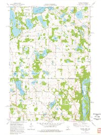
1974 Map of Scandia
USGS Topo · Published 1976About this map
Scandia serves as the primary settlement on this 1974 survey of the borderlands between Minnesota and Wisconsin. The landscape is defined by a dense network of glacial lakes, including Chisago Lake, Bone Lake, and Goose Lake, which supported a growing recreational and residential community. Transportation routes like Olinda Road and Lofton Avenue connect the dispersed farmsteads and lakeside developments.
Find a feature on this map
54 named features on this map. Tap any name to fly to it.
Don’t see what you’re looking for? This feature index may not catch every label — zoom into the map to look around manually.
Map Details
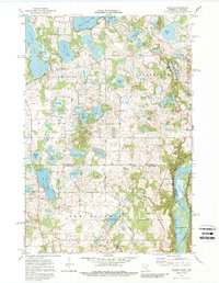
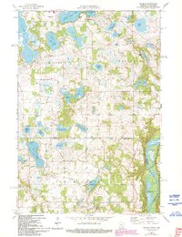
Editions of this 1974 Scandia Map
3 editions found
Other maps of this area

1900 · St Croix Dalles
USGS Topo · 1:62,500

1901 · St Croix Dalles
USGS Topo · 1:62,500

1948 · New Richmond
USGS Topo · 1:62,500

1948 · Stillwater
USGS Topo · 1:62,500

1949 · New Richmond
USGS Topo · 1:62,500

1949 · Stillwater
USGS Topo · 1:62,500

1953 · Stillwater
USGS Topo · 1:250,000

1954 · Hugo
USGS Topo · 1:24,000

1955 · St. Croix Dalles
USGS Topo · 1:62,500

1955 · Marine
USGS Topo · 1:24,000