
1978 Map of Schafer
USGS Topo · Published 1979About this map
Schafer sits at the heart of this landscape, a settlement defined by its position near the meandering waters of Cherry Creek. The terrain is deeply etched by a network of drainage systems, including the North Fork Cherry Creek and Sevenmile Creek to the south, while the northern reaches are marked by the presence of Tobacco Garden Creek. This late-1970s survey captures a transition in land use, where traditional rangeland meets more modern developments on the outskirts of the regional center. Local recreational and transportation infrastructure is evident through the Watford City Golf Course and the Watford City Municipal Airport, both located near the western edge of the quadrangle. Genealogists and local historians can locate the Schafer Cem and scattered Gravel Pits that suggest the area's small-scale industrial activity and community roots.
Find a feature on this map
10 named features on this map. Tap any name to fly to it.
Don’t see what you’re looking for? This feature index may not catch every label — zoom into the map to look around manually.
Map Details
Editions of this 1978 Schafer Map
This is the sole edition of this map. No revisions or reprints were ever made.
Other maps of this area

1953 · Watford City
USGS Topo · 1:250,000

1957 · Watford City
USGS Topo · 1:250,000

1958 · Tepee Buttes
USGS Topo · 1:24,000

1959 · Lone Butte NW
USGS Topo · 1:24,000

1959 · Lone Butte NE
USGS Topo · 1:24,000

1967 · Watford City
USGS Topo · 1:250,000

1978 · Watford City NE
USGS Topo · 1:24,000
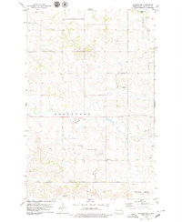
1978 · Schafer SE
USGS Topo · 1:24,000
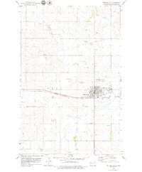
1978 · Watford City
USGS Topo · 1:24,000
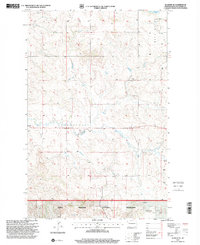
1997 · Schafer SE
USGS Topo · 1:24,000