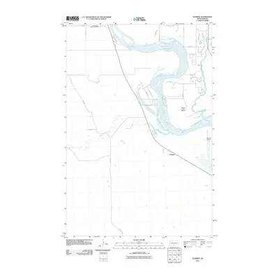
2011 Map of Schmidt
USGS Topo · Published 2011About this map
The Missouri River dominates the eastern half of this Morton County landscape, winding past the broad alluvial reaches of Kenel Flats and Apple Creek Bottom. On the western bank, the small settlement of Schmidt serves as a local landmark along the highway corridor, south of where the Little Heart River joins the main river system. This 2011 survey captures a rural environment defined by its river-bottom geography and the significant presence of the North Dakota Veterans Cemetery in the north. The area shows a transition from the agricultural flats near the water to the upland prairies west of Schmidt Bottom, with local infrastructure such as County Rd 81 and several residential developments near Apple Creek indicating the gradual expansion of the community south of the capital region.
Find a feature on this map
33 named features on this map. Tap any name to fly to it.
Don’t see what you’re looking for? This feature index may not catch every label — zoom into the map to look around manually.
Map Details
Editions of this 2011 Schmidt Map
This is the sole edition of this map. No revisions or reprints were ever made.
Other maps of this area

1907 · Bismarck
USGS Topo · 1:125,000

1950 · Bismarck
USGS Topo · 1:24,000

1951 · Menoken SW
USGS Topo · 1:24,000

1951 · Bismarck
USGS Topo · 1:62,500

1951 · Mandan
USGS Topo · 1:24,000

1951 · Menoken
USGS Topo · 1:62,500

1954 · Bismarck
USGS Topo · 1:250,000

1958 · Bismarck
USGS Topo · 1:250,000

1962 · Sugarloaf Butte
USGS Topo · 1:24,000

1962 · Schmidt
USGS Topo · 1:24,000