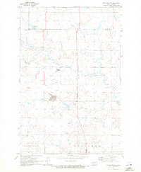
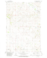
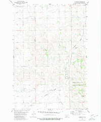
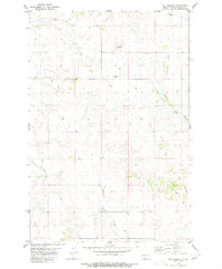
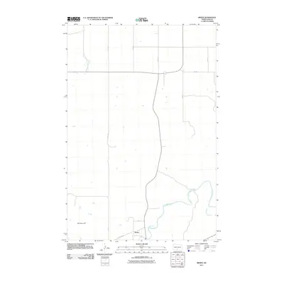
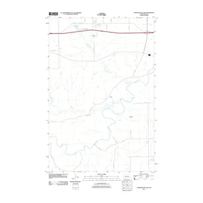
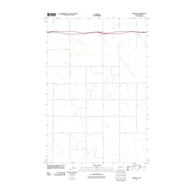
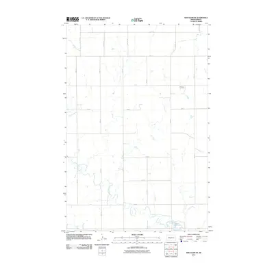
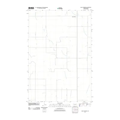
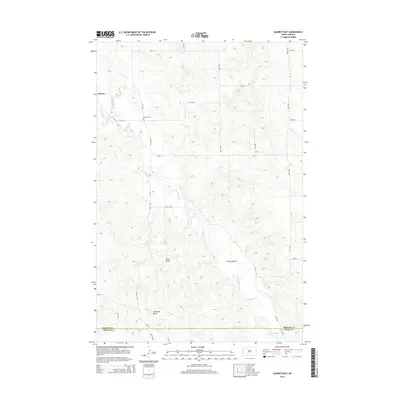
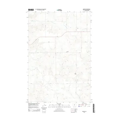
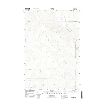
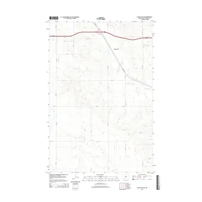
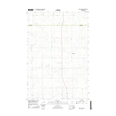
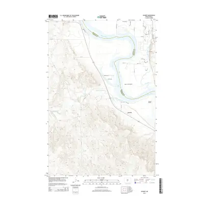
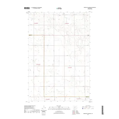
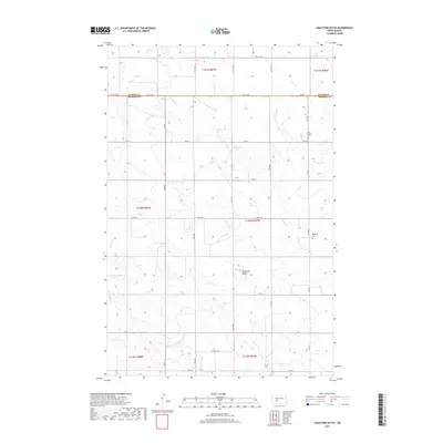
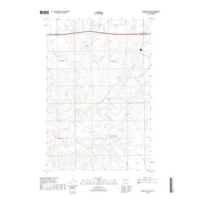
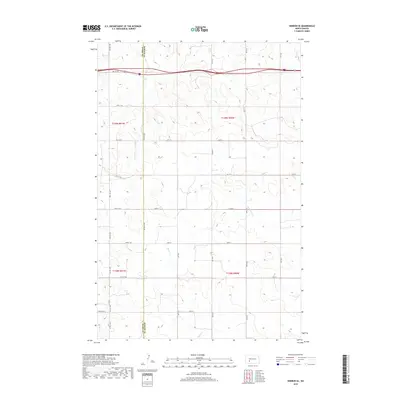
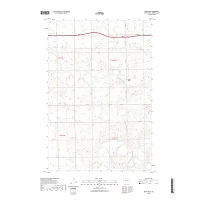
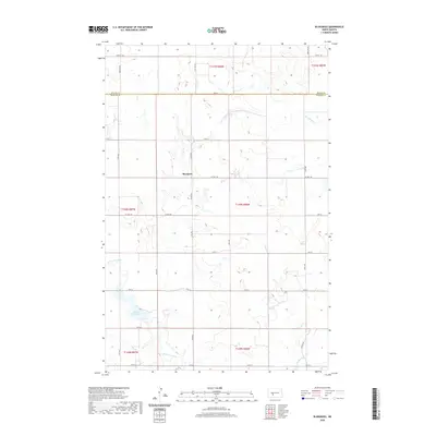
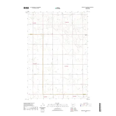
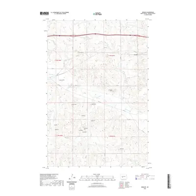
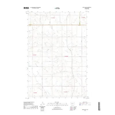
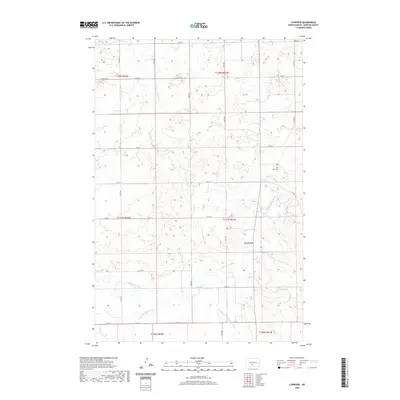
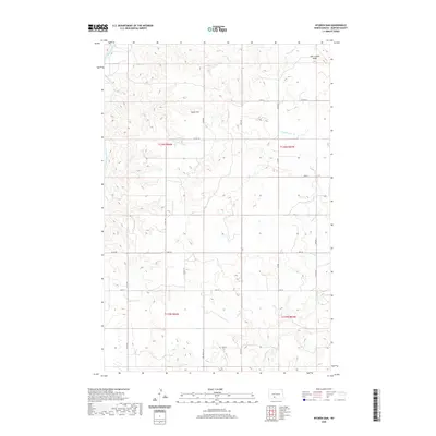
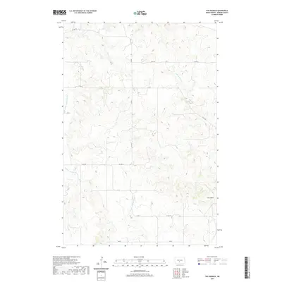
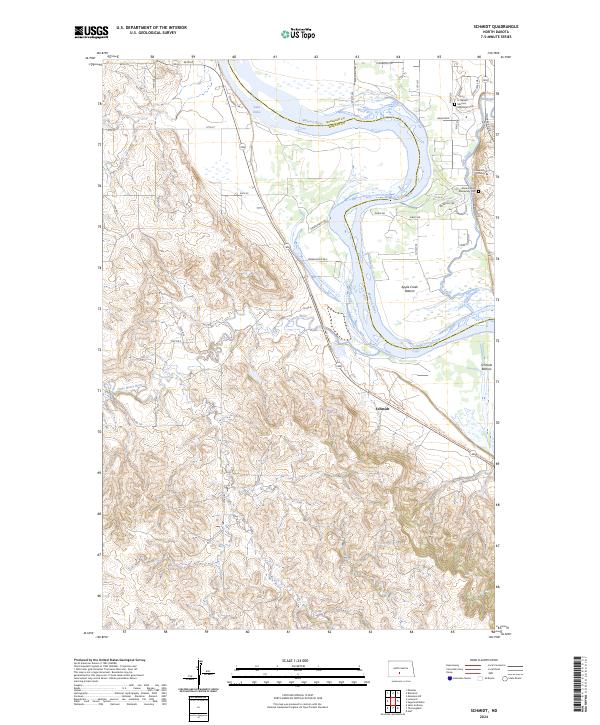
1962 Map of Schmidt
USGS Topo · Published 1977About this map
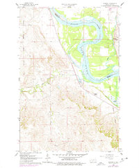
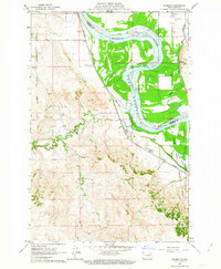
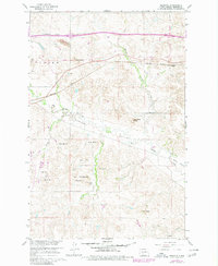
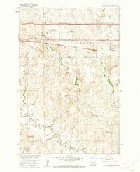
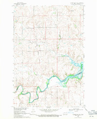
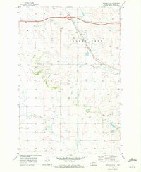
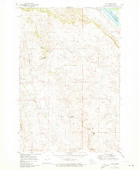
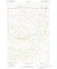
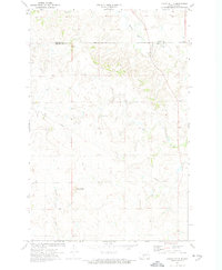
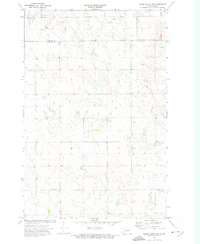
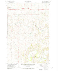
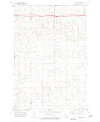
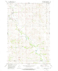
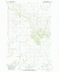
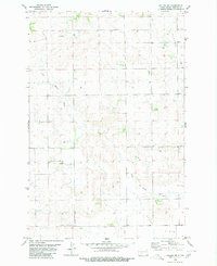
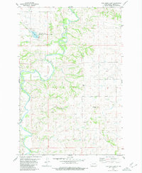
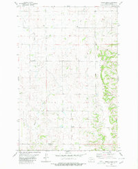
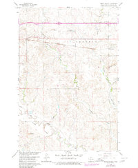
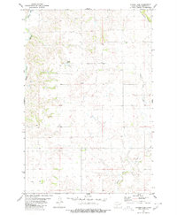
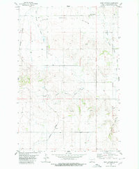
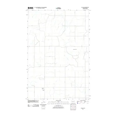
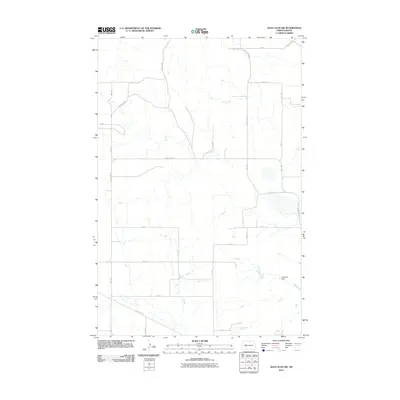
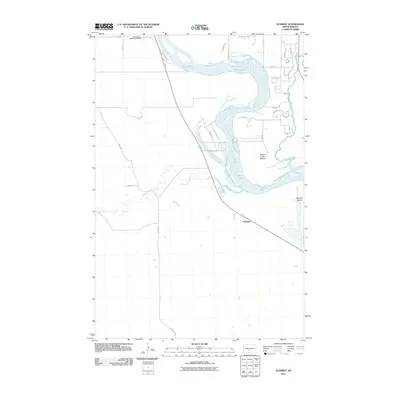
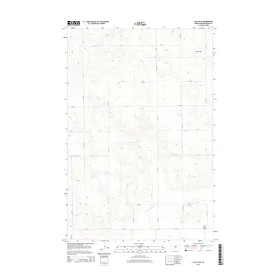
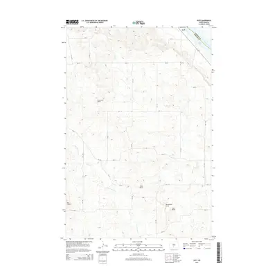
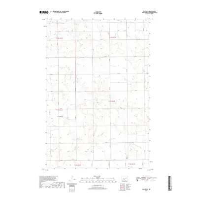
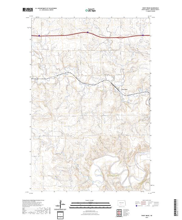
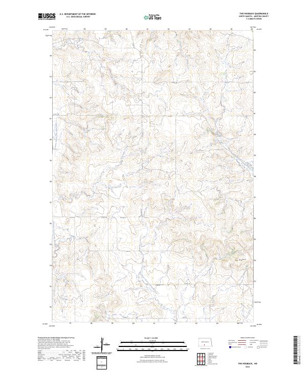
The Missouri River corridor south of Bismarck is defined here by the meeting of the Little Heart River and the expansive Lake Oahe. The map documents a landscape in transition, where historical military legacies intersect with mid-century water management. The Old Fort Lincoln Military Reservation Boundary and Old Fort Rice Military Reservation Boundary provide significant markers for those researching the frontier era's spatial footprints in Morton and Burleigh counties. Near the riverbanks, the Annunciation Priory stands as a notable landmark alongside the small settlement of Schmidt. The terrain transitions from the river valley floor to higher ground, including the prominent rise of The Hogback, illustrating the varied topography that influenced early regional development and transport routes near Apple Creek.
Find a feature on this map
12 named features on this map. Tap any name to fly to it.
Don’t see what you’re looking for? This feature index may not catch every label — zoom into the map to look around manually.
Map Details
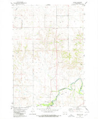
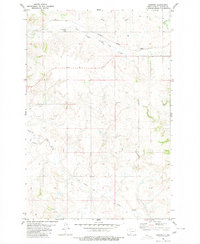
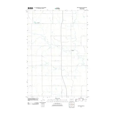
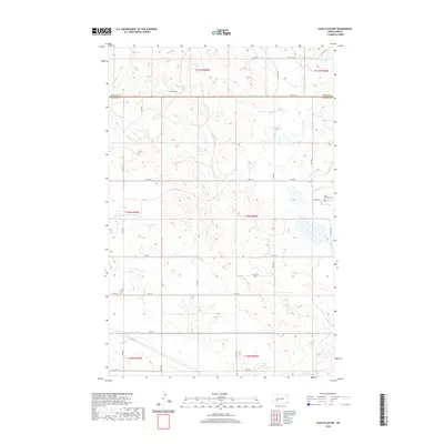
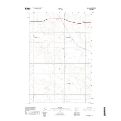
Editions of this 1962 Schmidt Map
2 editions found
Historical Maps of Schmidt Through Time
187 maps found
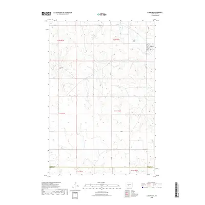
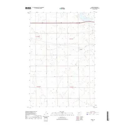
1960 Dengate
Morton County, ND
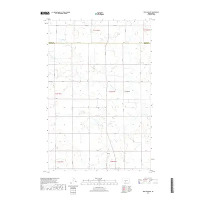
1960 North Almont
Morton County, ND
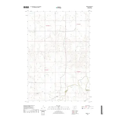
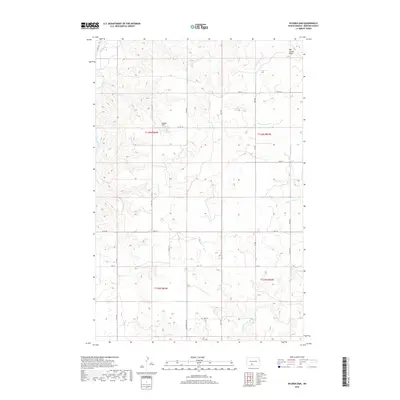
1962 Schmidt
Morton County, ND
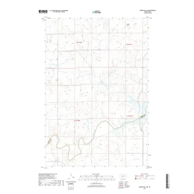
1968 Cannon Ball NW
Morton County, ND
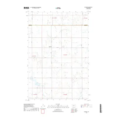
1970 Bluegrass
Morton County, ND
1970 Glen Ullin NE
Morton County, ND
1970 Glen Ullin NW
Morton County, ND
1970 Glen Ullin SW
Morton County, ND
1970 Hailstone Butte
Morton County, ND
1970 Judson
Morton County, ND
1970 New Salem NE
Morton County, ND
1970 New Salem NW
Morton County, ND
1971 Huff
Morton County, ND
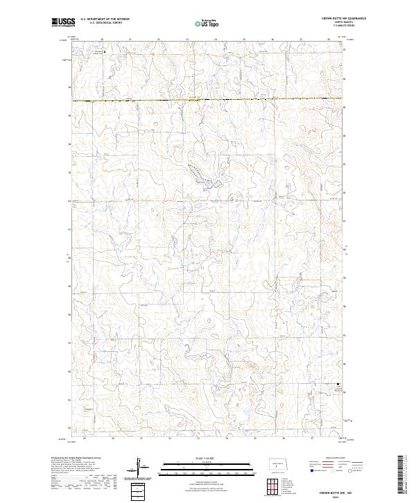
1972 Crown Butte Lake
Morton County, ND
1972 Crown Butte
Morton County, ND
1972 Crown Butte NW
Morton County, ND
1972 Sweet Briar
Morton County, ND
1973 Hebron SE
Morton County, ND
1980 Almont East
Morton County, ND
1980 Almont West
Morton County, ND
1980 Breien
Morton County, ND
1980 Burgess
Morton County, ND
1980 Crown Butte Creek NW
Morton County, ND
1980 Fallon
Morton County, ND
1980 Fallon NE
Morton County, ND
1980 Fish Creek Lake
Morton County, ND
1980 Green Ridge
Morton County, ND
1980 Lynwood
Morton County, ND
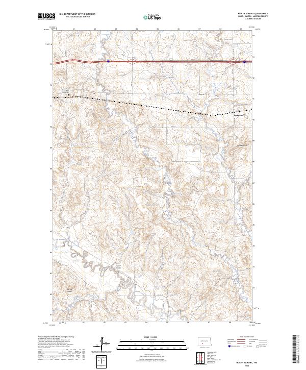
1980 North Almont
Morton County, ND
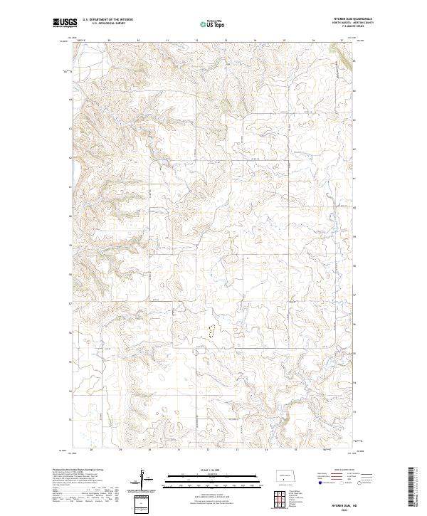
1980 Nygren Dam
Morton County, ND
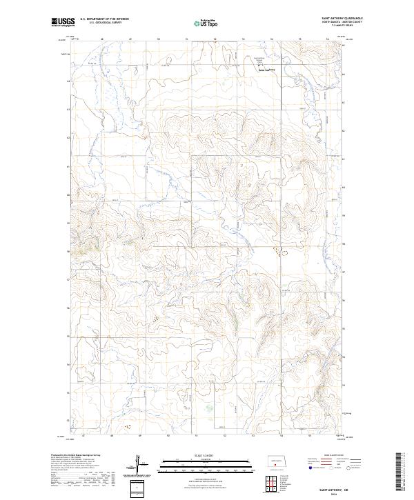
1980 Saint Anthony
Morton County, ND
1980 The Hogback
Morton County, ND
2011 Almont East
Morton County, ND
2011 Almont West
Morton County, ND
2011 Bluegrass
Morton County, ND
2011 Breien
Morton County, ND
2011 Burgess
Morton County, ND
2011 Cannon Ball NW
Morton County, ND
2011 Crown Butte Creek NW
Morton County, ND
2011 Crown Butte Lake
Morton County, ND
2011 Crown Butte
Morton County, ND
2011 Crown Butte NW
Morton County, ND
2011 Dengate
Morton County, ND
2011 Fallon
Morton County, ND
2011 Fallon NE
Morton County, ND
2011 Fish Creek Lake
Morton County, ND
2011 Glen Ullin NE
Morton County, ND
2011 Glen Ullin NW
Morton County, ND
2011 Glen Ullin SW
Morton County, ND
2011 Green Ridge
Morton County, ND
2011 Hailstone Butte
Morton County, ND
2011 Hebron SE
Morton County, ND
2011 Huff
Morton County, ND
2011 Judson
Morton County, ND
2011 Lynwood
Morton County, ND
2011 New Salem NE
Morton County, ND
2011 New Salem NW
Morton County, ND
2011 North Almont
Morton County, ND
2011 Nygren Dam
Morton County, ND
2011 Saint Anthony
Morton County, ND
2011 Schmidt
Morton County, ND
2011 Sweet Briar
Morton County, ND
2011 The Hogback
Morton County, ND
2014 Almont East
Morton County, ND
2014 Almont West
Morton County, ND
2014 Bluegrass
Morton County, ND
2014 Breien
Morton County, ND
2014 Burgess
Morton County, ND
2014 Cannon Ball NW
Morton County, ND
2014 Crown Butte Creek NW
Morton County, ND
2014 Crown Butte Lake
Morton County, ND
2014 Crown Butte
Morton County, ND
2014 Crown Butte NW
Morton County, ND
2014 Dengate
Morton County, ND
2014 Fallon
Morton County, ND
2014 Fallon NE
Morton County, ND
2014 Fish Creek Lake
Morton County, ND
2014 Glen Ullin NE
Morton County, ND
2014 Glen Ullin NW
Morton County, ND
2014 Glen Ullin SW
Morton County, ND
2014 Green Ridge
Morton County, ND
2014 Hailstone Butte
Morton County, ND
2014 Hebron SE
Morton County, ND
2014 Huff
Morton County, ND
2014 Judson
Morton County, ND
2014 Lynwood
Morton County, ND
2014 New Salem NE
Morton County, ND
2014 New Salem NW
Morton County, ND
2014 North Almont
Morton County, ND
2014 Nygren Dam
Morton County, ND
2014 Saint Anthony
Morton County, ND
2014 Schmidt
Morton County, ND
2014 Sweet Briar
Morton County, ND
2014 The Hogback
Morton County, ND
2017 Almont East
Morton County, ND
2017 Crown Butte Creek NW
Morton County, ND
2017 Dengate
Morton County, ND
2017 Fish Creek Lake
Morton County, ND
2017 Green Ridge
Morton County, ND
2017 Hailstone Butte
Morton County, ND
2017 Huff
Morton County, ND
2017 Lynwood
Morton County, ND
2017 New Salem NE
Morton County, ND
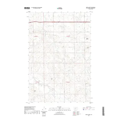
2017 North Almont
Morton County, ND
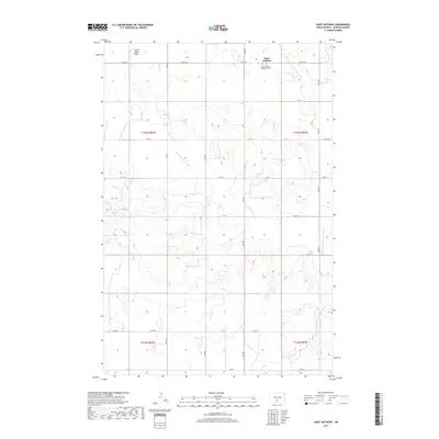
2017 Saint Anthony
Morton County, ND
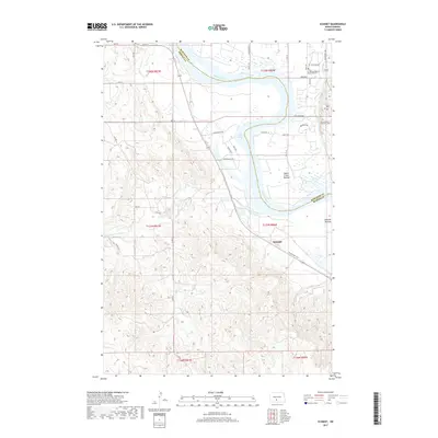
2017 Schmidt
Morton County, ND
2018 Almont West
Morton County, ND
2018 Bluegrass
Morton County, ND
2018 Breien
Morton County, ND
2018 Burgess
Morton County, ND
2018 Cannon Ball NW
Morton County, ND
2018 Crown Butte Lake
Morton County, ND
2018 Crown Butte
Morton County, ND
2018 Crown Butte NW
Morton County, ND
2018 Fallon
Morton County, ND
2018 Fallon NE
Morton County, ND
2018 Glen Ullin NE
Morton County, ND
2018 Glen Ullin NW
Morton County, ND
2018 Glen Ullin SW
Morton County, ND
2018 Hebron SE
Morton County, ND
2018 Judson
Morton County, ND
2018 New Salem NW
Morton County, ND
2018 Nygren Dam
Morton County, ND
2018 Sweet Briar
Morton County, ND
2018 The Hogback
Morton County, ND
2020 Almont East
Morton County, ND
2020 Almont West
Morton County, ND
2020 Bluegrass
Morton County, ND
2020 Breien
Morton County, ND
2020 Burgess
Morton County, ND
2020 Cannon Ball NW
Morton County, ND
2020 Crown Butte Creek NW
Morton County, ND
2020 Crown Butte Lake
Morton County, ND
2020 Crown Butte
Morton County, ND
2020 Crown Butte NW
Morton County, ND
2020 Dengate
Morton County, ND
2020 Fallon
Morton County, ND
2020 Fallon NE
Morton County, ND
2020 Fish Creek Lake
Morton County, ND
2020 Glen Ullin NE
Morton County, ND
2020 Glen Ullin NW
Morton County, ND
2020 Glen Ullin SW
Morton County, ND
2020 Green Ridge
Morton County, ND
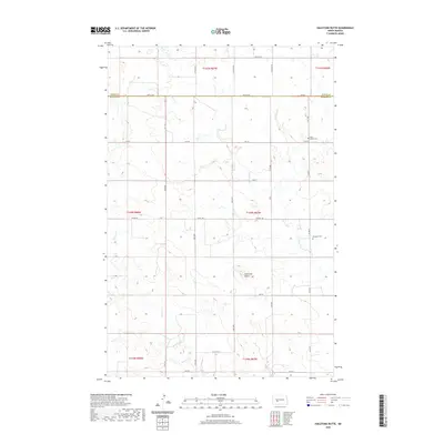
2020 Hailstone Butte
Morton County, ND
2020 Hebron SE
Morton County, ND
2020 Huff
Morton County, ND
2020 Judson
Morton County, ND
2020 Lynwood
Morton County, ND
2020 New Salem NE
Morton County, ND
2020 New Salem NW
Morton County, ND
2020 North Almont
Morton County, ND
2020 Nygren Dam
Morton County, ND
2020 Saint Anthony
Morton County, ND
2020 Schmidt
Morton County, ND
2020 Sweet Briar
Morton County, ND
2020 The Hogback
Morton County, ND
2024 Almont East
Morton County, ND
2024 Almont West
Morton County, ND
2024 Bluegrass
Morton County, ND

2024 Breien
Morton County, ND

2024 Burgess
Morton County, ND
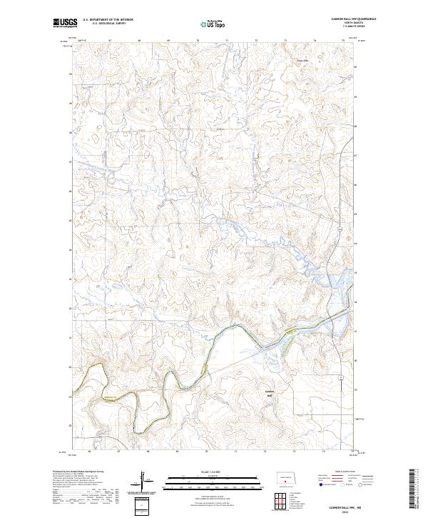
2024 Cannon Ball NW
Morton County, ND
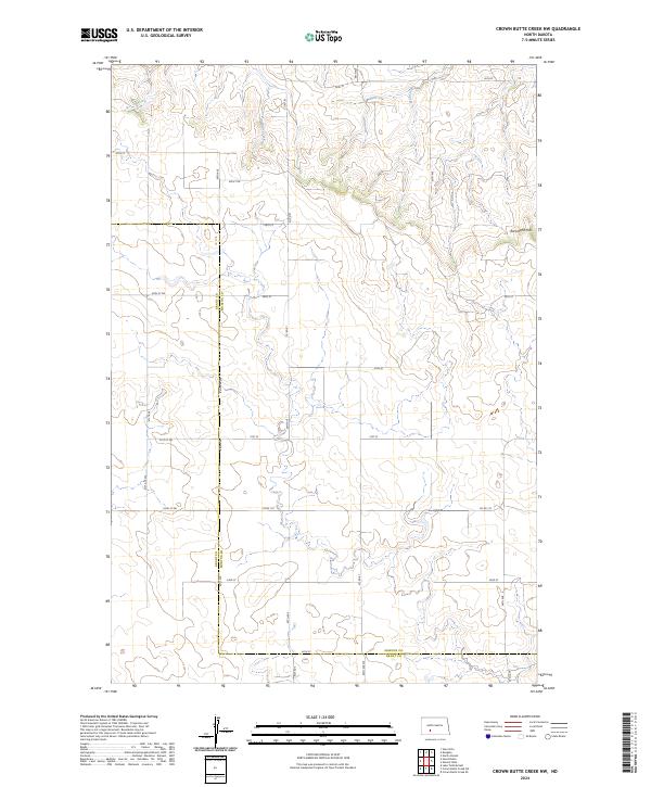
2024 Crown Butte Creek NW
Morton County, ND
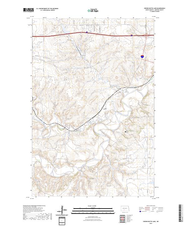
2024 Crown Butte Lake
Morton County, ND
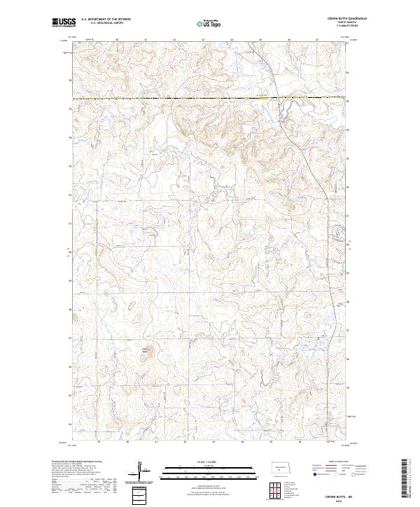
2024 Crown Butte
Morton County, ND
2024 Crown Butte NW
Morton County, ND
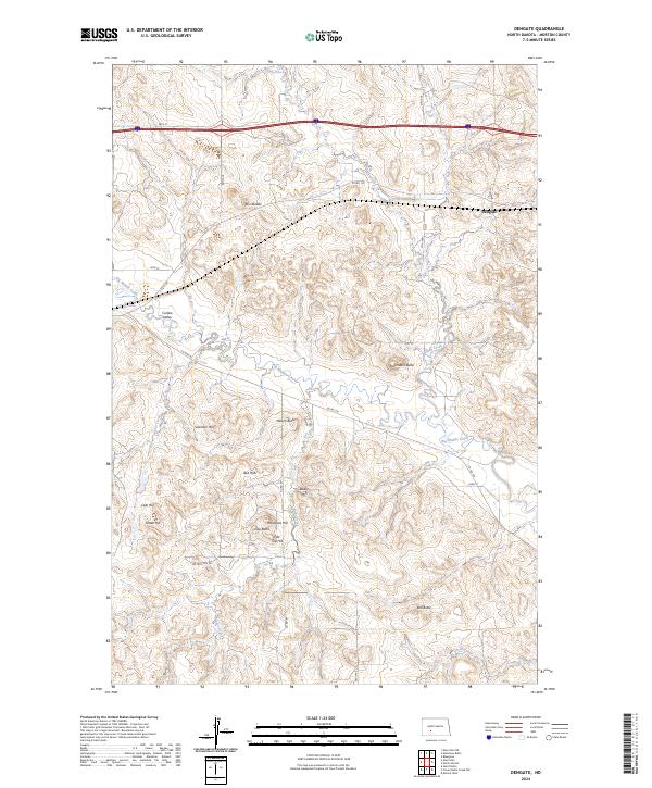
2024 Dengate
Morton County, ND
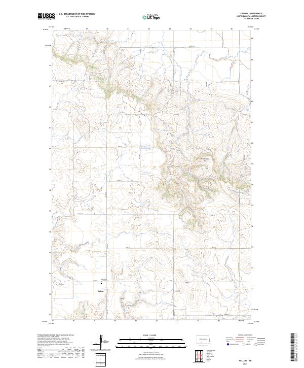
2024 Fallon
Morton County, ND
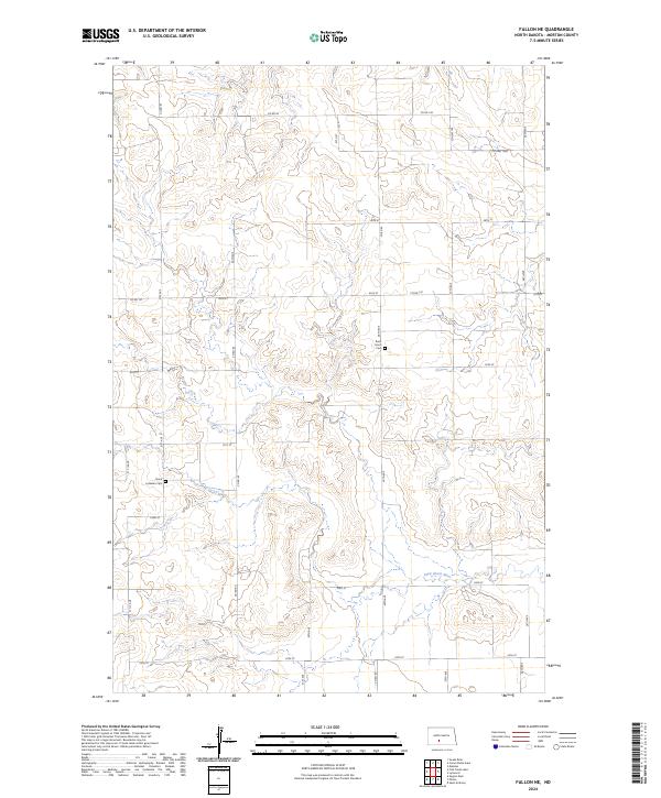
2024 Fallon NE
Morton County, ND
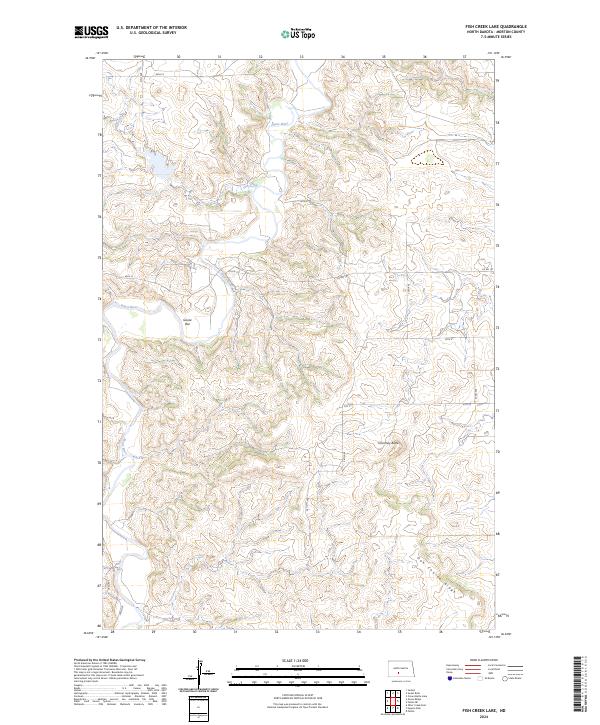
2024 Fish Creek Lake
Morton County, ND
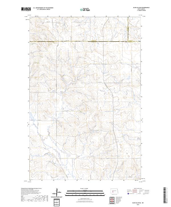
2024 Glen Ullin NE
Morton County, ND
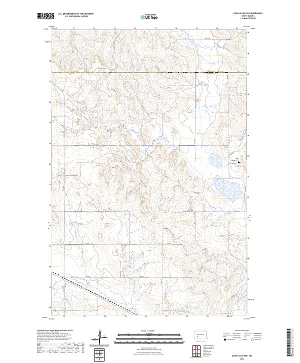
2024 Glen Ullin NW
Morton County, ND
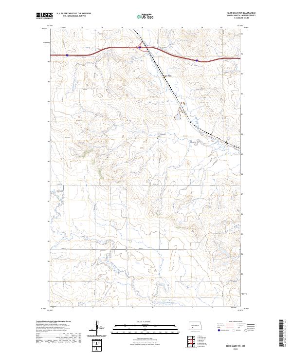
2024 Glen Ullin SW
Morton County, ND
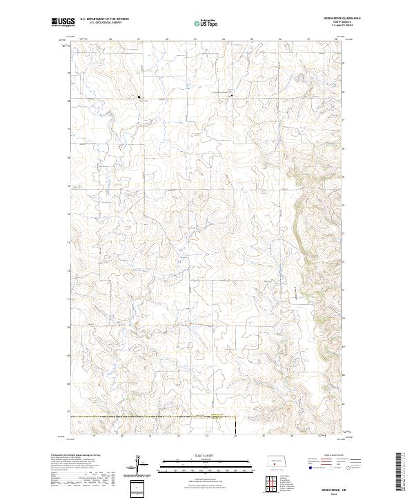
2024 Green Ridge
Morton County, ND
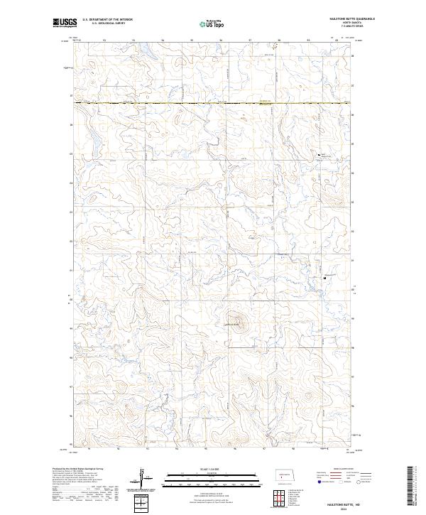
2024 Hailstone Butte
Morton County, ND
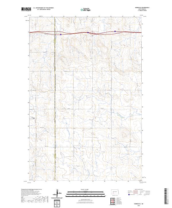
2024 Hebron SE
Morton County, ND
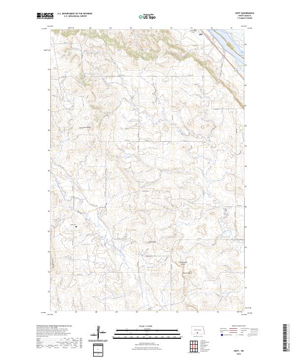
2024 Huff
Morton County, ND
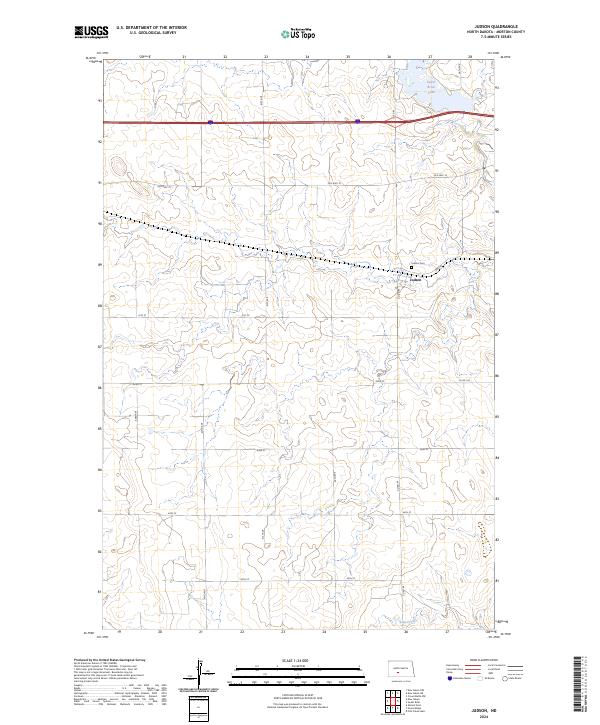
2024 Judson
Morton County, ND
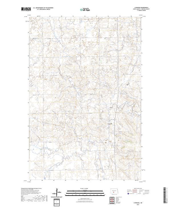
2024 Lynwood
Morton County, ND
2024 New Salem NE
Morton County, ND
2024 New Salem NW
Morton County, ND
2024 North Almont
Morton County, ND
2024 Nygren Dam
Morton County, ND
2024 Saint Anthony
Morton County, ND
2024 Schmidt
Morton County, ND
2024 Sweet Briar
Morton County, ND
2024 The Hogback
Morton County, ND