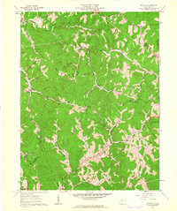
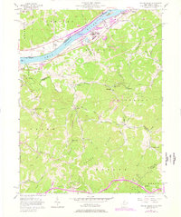
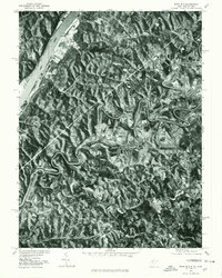
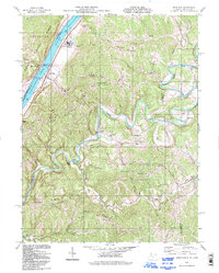
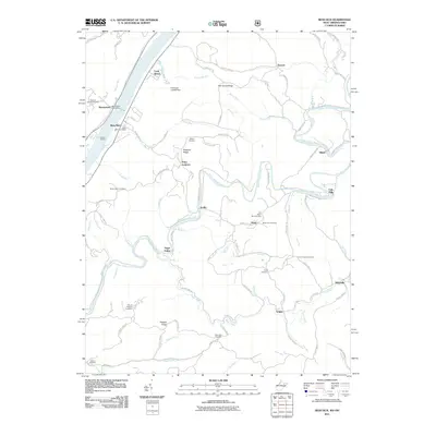
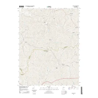
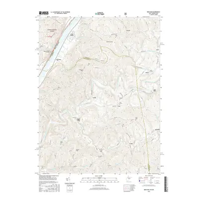
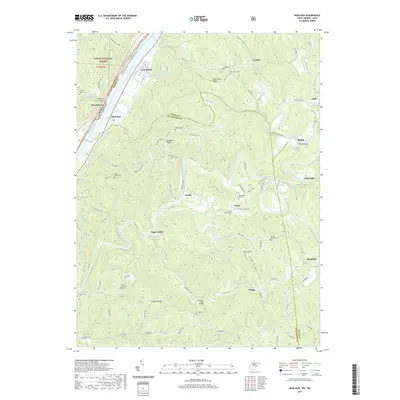
1961 Map of Schultz
USGS Topo · Published 1962About this map
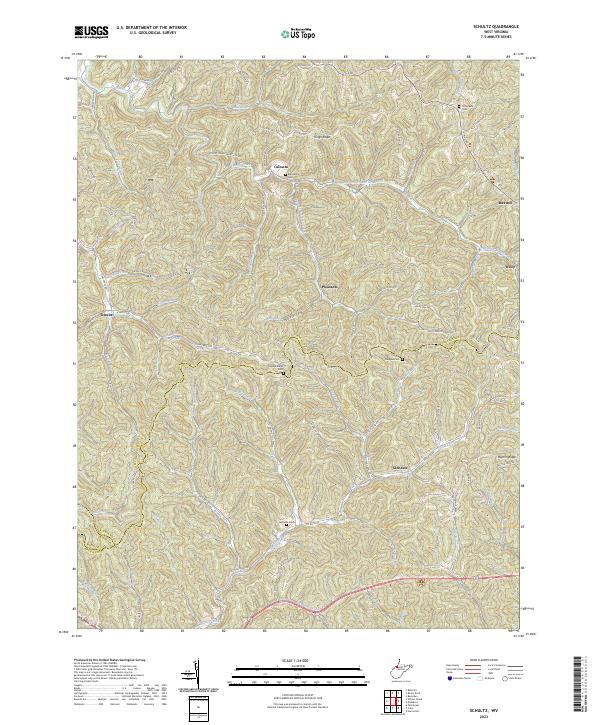
Schultz and the surrounding drainages of Goose Creek define this rural 1961 portrait of the West Virginia hill country. The landscape is deeply incised by countless runs, including Schultz Creek, Layfields Run, and French Creek, where small settlements like Calcutta and Henry Camp persisted along the narrow valley floors. The distribution of Cloverdale Ch and Ingram Ch suggests a community structure tied to these isolated hollows.
Find a feature on this map
47 named features on this map. Tap any name to fly to it.
Don’t see what you’re looking for? This feature index may not catch every label — zoom into the map to look around manually.
Map Details
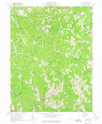
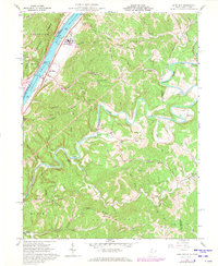
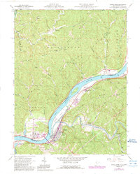
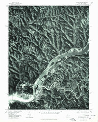
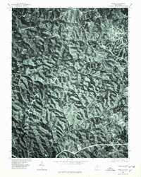
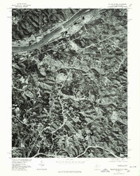
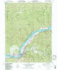
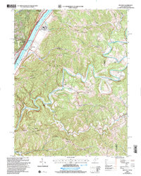
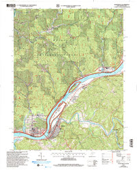
Editions of this 1961 Schultz Map
3 editions found
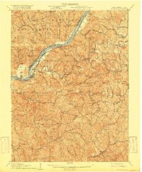
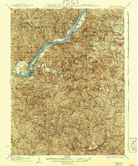
Historical Maps of Poynette Through Time
37 maps found
1906 St Marys
Pleasants County, WV

1924 St Marys
Pleasants County, WV
1927 St Marys
Pleasants County, WV
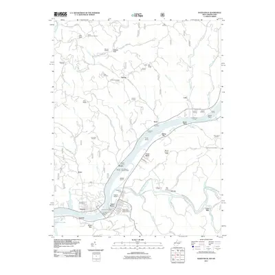
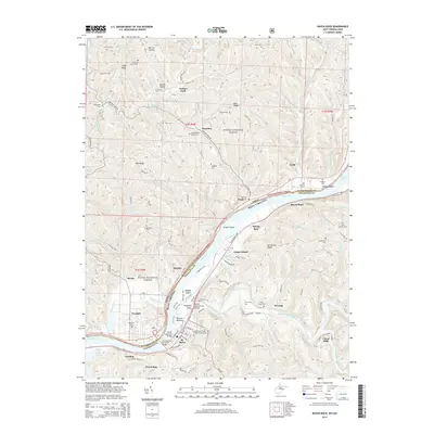
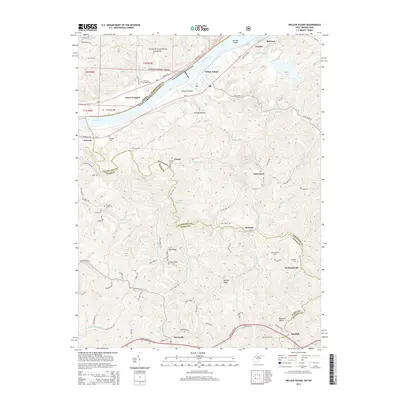
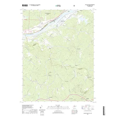
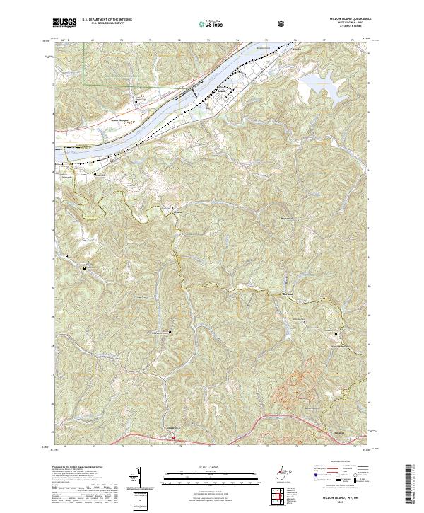
1957 Willow Island
Pleasants County, WV
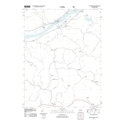
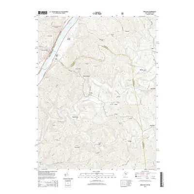
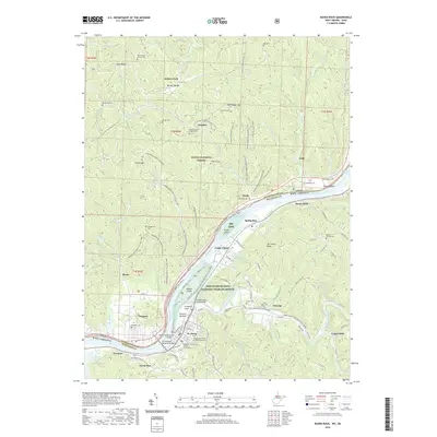
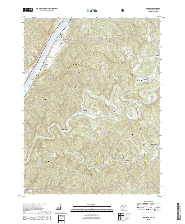
1960 Bens Run
Pleasants County, WV
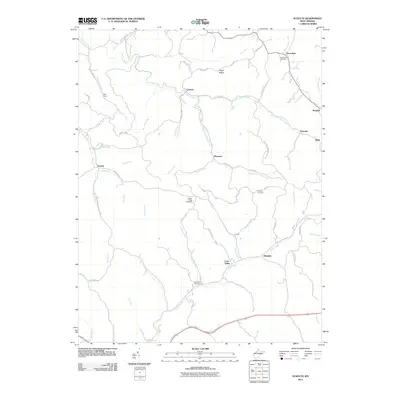
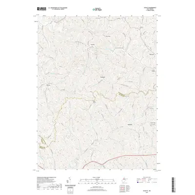
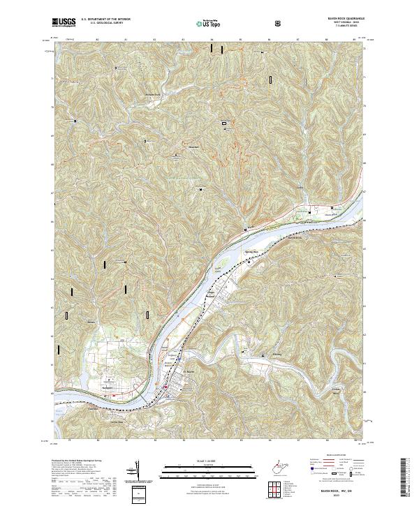
1961 Raven Rock
Pleasants County, WV
1961 Schultz
Pleasants County, WV
1975 Bens Run
Pleasants County, WV
1975 Raven Rock
Pleasants County, WV
1975 Schultz
Pleasants County, WV
1976 Willow Island
Pleasants County, WV
1994 Bens Run
Pleasants County, WV
1994 Raven Rock
Pleasants County, WV

1994 Willow Island
Pleasants County, WV
2002 Bens Run
Pleasants County, WV
2002 Raven Rock
Pleasants County, WV

2002 Willow Island
Pleasants County, WV
2011 Bens Run
Pleasants County, WV
2011 Raven Rock
Pleasants County, WV
2011 Schultz
Pleasants County, WV
2011 Willow Island
Pleasants County, WV
2014 Bens Run
Pleasants County, WV
2014 Raven Rock
Pleasants County, WV
2014 Schultz
Pleasants County, WV
2014 Willow Island
Pleasants County, WV
2016 Bens Run
Pleasants County, WV
2016 Raven Rock
Pleasants County, WV
2016 Schultz
Pleasants County, WV
2016 Willow Island
Pleasants County, WV
2019 Bens Run
Pleasants County, WV
2019 Raven Rock
Pleasants County, WV
2019 Schultz
Pleasants County, WV
2019 Willow Island
Pleasants County, WV
2023 Bens Run
Pleasants County, WV
2023 Raven Rock
Pleasants County, WV
2023 Schultz
Pleasants County, WV
2023 Willow Island
Pleasants County, WV