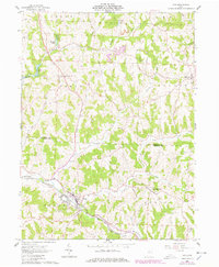
1961 Map of Scio
USGS Topo · Published 1978About this map
Scio sits at the junction of two major rail lines in the early 1960s, serving as a hub for the Pennsylvania and New York Chicago and St Louis railroads. The village is surrounded by the dissected plateau of eastern Ohio, where the headwaters of Conotton Creek and McGuire Creek have carved deep valleys. In the southeastern corner, the village of New Rumley is notable as the birthplace of George Armstrong Custer, marked here by the Gen Custer Mon.
Find a feature on this map
39 named features on this map. Tap any name to fly to it.
Don’t see what you’re looking for? This feature index may not catch every label — zoom into the map to look around manually.
Map Details
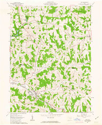
Editions of this 1961 Scio Map
2 editions found
Other maps of this area

1901 · Cadiz
USGS Topo · 1:62,500

1902 · Scio
USGS Topo · 1:62,500

1903 · Cadiz
USGS Topo · 1:62,500

1904 · Scio
USGS Topo · 1:62,500

1905 · Salineville
USGS Topo · 1:62,500

1910 · Carrollton
USGS Topo · 1:62,500

1912 · Carrollton
USGS Topo · 1:62,500

1951 · Canton
USGS Topo · 1:250,000

1953 · Canton
USGS Topo · 1:250,000

1957 · Canton
USGS Topo · 1:250,000