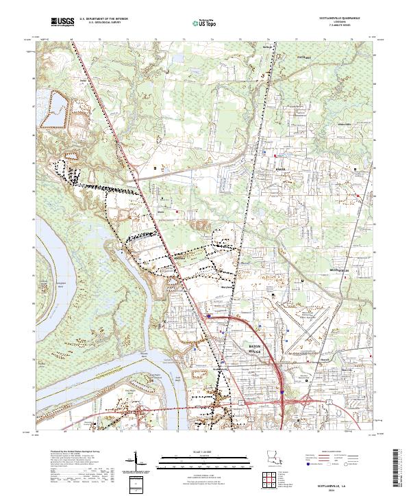
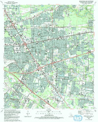
2024 Map of Scotlandville
USGS Topo · Published 2024About this map
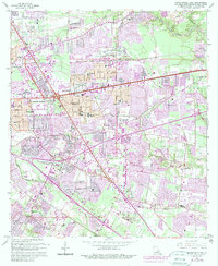
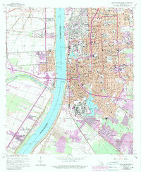
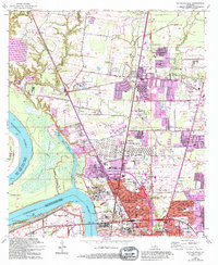
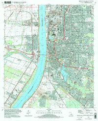
The Mississippi River carves a complex course through this portion of East Baton Rouge Parish, creating distinct features like Solitude Point, Springfield Bend, and Mulatto Bend. The landscape transitions from the riparian wetlands of Devils Swamp to the elevated reaches of Scott Bluffs, where Southern University and A and M College sits overlooking the river. This modern survey illustrates the dense suburban and institutional footprint of Baton Rouge and Scotlandville, showing how they interface with industrial infrastructure like the Illinois Central RR and Baker Canal.
Find a feature on this map
235 named features on this map. Tap any name to fly to it.
Don’t see what you’re looking for? This feature index may not catch every label — zoom into the map to look around manually.
Map Details
Editions of this 2024 Scotlandville Map
This is the sole edition of this map. No revisions or reprints were ever made.
Historical Maps of Airline Terrace Through Time
26 maps found

1942 Pride
East Baton Rouge Parish, LA

1953 Baton Rouge East
East Baton Rouge Parish, LA

1953 Baton Rouge West
East Baton Rouge Parish, LA
1953 Comite
East Baton Rouge Parish, LA

1954 Fred
East Baton Rouge Parish, LA
1954 Pride
East Baton Rouge Parish, LA

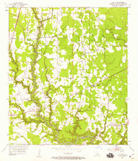
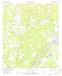
1954 Scotlandville
East Baton Rouge Parish, LA
1962 Comite
East Baton Rouge Parish, LA
1963 Baton Rouge East
East Baton Rouge Parish, LA
1963 Baton Rouge West
East Baton Rouge Parish, LA
1963 Fred
East Baton Rouge Parish, LA
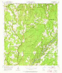
1963 Scotlandville
East Baton Rouge Parish, LA
1980 Pride
East Baton Rouge Parish, LA
1992 Baton Rouge East
East Baton Rouge Parish, LA
1992 Baton Rouge West
East Baton Rouge Parish, LA
1995 Baton Rouge East
East Baton Rouge Parish, LA
1995 Baton Rouge West
East Baton Rouge Parish, LA

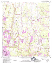
1995 Scotlandville
East Baton Rouge Parish, LA
1996 Comite
East Baton Rouge Parish, LA

1998 Fred
East Baton Rouge Parish, LA
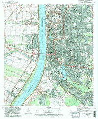
2024 Baton Rouge East
East Baton Rouge Parish, LA
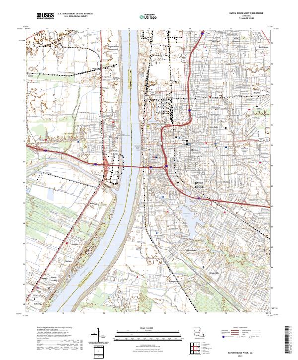
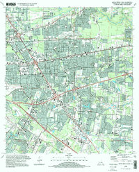
2024 Baton Rouge West
East Baton Rouge Parish, LA
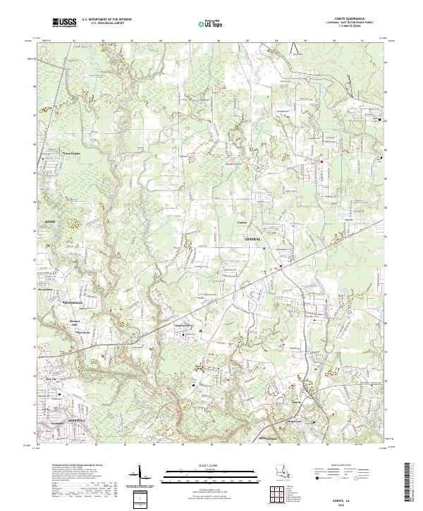
2024 Comite
East Baton Rouge Parish, LA
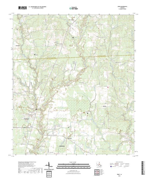
2024 Fred
East Baton Rouge Parish, LA
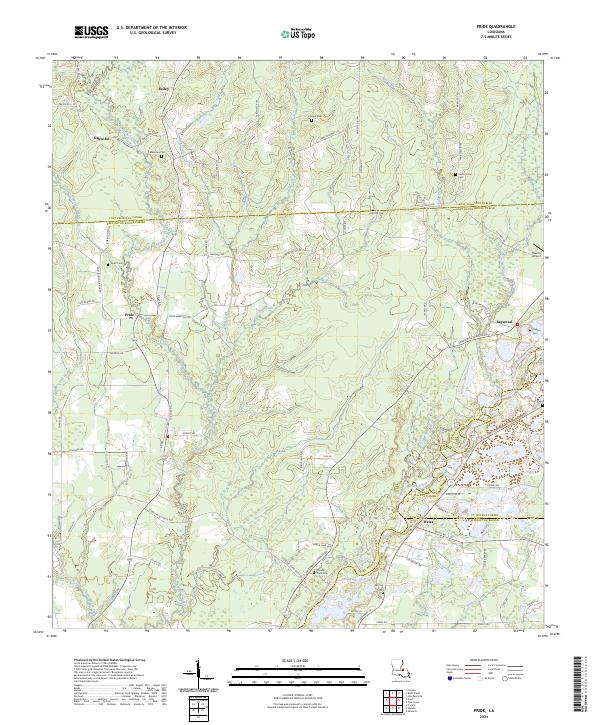
2024 Pride
East Baton Rouge Parish, LA
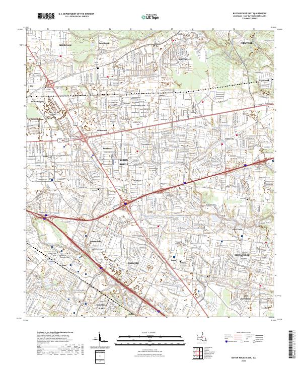
2024 Scotlandville
East Baton Rouge Parish, LA