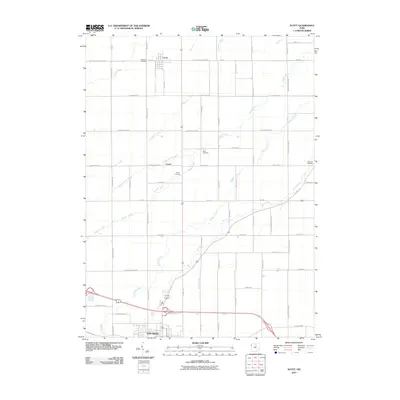
2010 Map of Scott
USGS Topo · Published 2010About this map
Van Wert anchors the southern portion of this Northwest Ohio landscape, where the town's northern reaches give way to a meticulously organized grid of rural roads and drainage networks. The settlement of Scott sits at the northern boundary, while Cavett serves as a central waypoint in a region defined by agricultural heritage and a dense system of waterways. A high concentration of family and community burial grounds, including Oakland Cemetery, Mohr Cemetery, and Taylor Cemetery, provides significant data for genealogical research across these townships.
Find a feature on this map
56 named features on this map. Tap any name to fly to it.
Don’t see what you’re looking for? This feature index may not catch every label — zoom into the map to look around manually.
Map Details
Editions of this 2010 Scott Map
This is the sole edition of this map. No revisions or reprints were ever made.
Other maps of this area

1909 · Continental
USGS Topo · 1:62,500

1911 · Delphos
USGS Topo · 1:62,500

1914 · Van Wert
USGS Topo · 1:62,500

1914 · Paulding
USGS Topo · 1:62,500

1944 · Delphos
USGS Topo · 1:62,500

1944 · Van Wert
USGS Topo · 1:62,500

1944 · Paulding
USGS Topo · 1:62,500

1953 · Fort Wayne
USGS Topo · 1:250,000

1953 · Muncie
USGS Topo · 1:250,000

1956 · Muncie
USGS Topo · 1:250,000