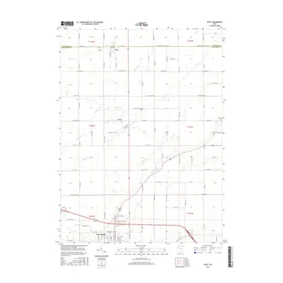
2016 Map of Scott
USGS Topo · Published 2016About this map
Van Wert anchor the southern edge of this West Ohio survey, where the grid of the Public Land Survey System defines a landscape of rural townships and family-run agricultural tracts. The village of Scott straddles the Paulding and Van Wert county line at the northern border, serving as a historic junction for the local road network. The terrain is intricately drained by numerous small waterways, including Hagerman Creek, Pottawatomie Creek, and Hoaglin Creek, which wind between section lines and established farmsteads. Local history is anchored by several small burial grounds like Oakland Cemetery and Mohr Cemetery, often the only remaining markers of the area's earliest pioneer settlements. Further south, the map documents the growth of the county seat as it expanded near Town Creek, showing the industrial and residential footprint of the city adjacent to the small hamlet of Cavett.
Find a feature on this map
122 named features on this map. Tap any name to fly to it.
Don’t see what you’re looking for? This feature index may not catch every label — zoom into the map to look around manually.
Map Details
Editions of this 2016 Scott Map
This is the sole edition of this map. No revisions or reprints were ever made.
Other maps of this area

1909 · Continental
USGS Topo · 1:62,500

1911 · Delphos
USGS Topo · 1:62,500

1914 · Van Wert
USGS Topo · 1:62,500

1914 · Paulding
USGS Topo · 1:62,500

1944 · Delphos
USGS Topo · 1:62,500

1944 · Van Wert
USGS Topo · 1:62,500

1944 · Paulding
USGS Topo · 1:62,500

1953 · Fort Wayne
USGS Topo · 1:250,000

1953 · Muncie
USGS Topo · 1:250,000

1956 · Muncie
USGS Topo · 1:250,000