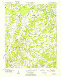
1950 Map of Scotts Hill
USGS Topo · Published 1952About this map
The Henderson and Decatur County line divides this mid-century landscape, where rural life is centered on the intricate network of creeks feeding the Kentucky Lake and the Beech River. At the western edge, Scotts Hill serves as a primary settlement, while the surrounding hills are dotted with family-named landmarks and local institutions like the Graves Chapel School and Camp Ground Church. The terrain is deeply dissected by drainages such as Panther Creek, Turkey Creek, and Rushing Creek, often marked by numerous small family cemeteries including Myracle, Averett, and Presley. A Lookout Tower stands as a sentinel in the southeastern corner, and the engineering of the era is evident in the Flat Creek Drainage Canal and several underground pipelines that cut across the local topography.
Find a feature on this map
65 named features on this map. Tap any name to fly to it.
Don’t see what you’re looking for? This feature index may not catch every label — zoom into the map to look around manually.
Map Details
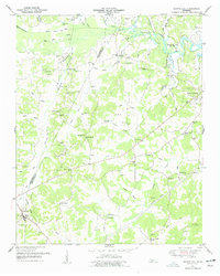
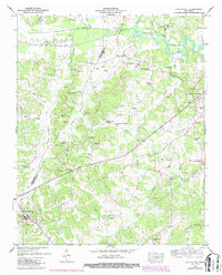
Editions of this 1950 Scotts Hill Map
3 editions found
Other maps of this area

1936 · Scotts Hill
USGS Topo · 1:24,000

1936 · Parsons
USGS Topo · 1:24,000

1936 · Thurman
USGS Topo · 1:24,000

1936 · Bath Springs
USGS Topo · 1:24,000

1936 · Sardis
USGS Topo · 1:24,000

1936 · Jeannette
USGS Topo · 1:24,000

1936 · Reagan
USGS Topo · 1:24,000

1936 · Perryville
USGS Topo · 1:24,000

1936 · Chesterfield
USGS Topo · 1:24,000

1949 · Perryville
USGS Topo · 1:24,000