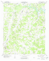
1950 Map of Scotts Hill
USGS Topo · Published 1977About this map
Scotts Hill and Decaturville anchor this mid-century survey along the Tennessee River valley, where the newly formed Kentucky Lake reshaped the eastern landscape. The area is defined by a dense network of local landmarks, including many churches such as Smith Chapel, Peace Chapel, and Concord Ch, reflecting the deep-rooted community life of Henderson and Decatur counties. To the north, the Beech River meanders toward the lake, accompanied by the Beech River Drainage Canal, illustrating early efforts to manage the low-lying valley terrain.
Find a feature on this map
65 named features on this map. Tap any name to fly to it.
Don’t see what you’re looking for? This feature index may not catch every label — zoom into the map to look around manually.
Map Details
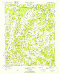
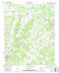
Editions of this 1950 Scotts Hill Map
3 editions found
Other maps of this area

1936 · Scotts Hill
USGS Topo · 1:24,000

1936 · Parsons
USGS Topo · 1:24,000

1936 · Thurman
USGS Topo · 1:24,000

1936 · Bath Springs
USGS Topo · 1:24,000

1936 · Sardis
USGS Topo · 1:24,000

1936 · Jeannette
USGS Topo · 1:24,000

1936 · Reagan
USGS Topo · 1:24,000

1936 · Perryville
USGS Topo · 1:24,000

1936 · Chesterfield
USGS Topo · 1:24,000

1949 · Perryville
USGS Topo · 1:24,000