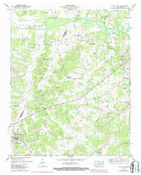
1950 Map of Scotts Hill
USGS Topo · Published 1987About this map
Scotts Hill serves as a prominent focal point in the southwestern corner of this West Tennessee landscape, situated along the county line between Henderson and Decatur Counties. To the northeast, the shoreline of Kentucky Lake and the Beech River dominate the drainage patterns, while the inland terrain is defined by a dense network of family-named cemeteries and rural churches that speak to the area's deep-rooted genealogy. Locations like Myracle Cem, Herndon Cem, and Rushing Grove Church are scattered across the ridges and hollows.
Find a feature on this map
58 named features on this map. Tap any name to fly to it.
Don’t see what you’re looking for? This feature index may not catch every label — zoom into the map to look around manually.
Map Details
Editions of this 1950 Scotts Hill Map
3 editions found
Other maps of this area

1936 · Scotts Hill
USGS Topo · 1:24,000

1936 · Parsons
USGS Topo · 1:24,000

1936 · Thurman
USGS Topo · 1:24,000

1936 · Bath Springs
USGS Topo · 1:24,000

1936 · Sardis
USGS Topo · 1:24,000

1936 · Jeannette
USGS Topo · 1:24,000

1936 · Reagan
USGS Topo · 1:24,000

1936 · Perryville
USGS Topo · 1:24,000

1936 · Chesterfield
USGS Topo · 1:24,000

1949 · Perryville
USGS Topo · 1:24,000