
1970 Map of Scotts Hill
USGS Topo · Published 1973About this map
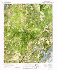
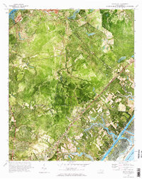
Scotts Hill and the surrounding marshlands of New Hanover County are captured in this 1970 orthophotomap, showing the coastal landscape at the start of the decade. The terrain is defined by tidal flats and creek networks, including Pages Creek and Howe Creek, which drain toward the Intracoastal Waterway and the developing Figure Eight Island. Transport and infrastructure focus heavily on the U S 17 corridor and the Seaboard Coast Line railroad, which bisect the inland settlements of Ogden and Murraysville. Local landmarks such as Oak Grove Ch, Prospect Cem, and Blair Sch provide essential points of reference for genealogists tracking family locations near the Pender County line. The map's photographic base highlights the density of coastal vegetation and the early patterns of residential expansion in areas like Porters Neck before the intensive modern development of the North Carolina shore.
Find a feature on this map
29 named features on this map. Tap any name to fly to it.
Don’t see what you’re looking for? This feature index may not catch every label — zoom into the map to look around manually.
Map Details
Editions of this 1970 Scotts Hill Map
3 editions found
Other maps of this area

1942 · Topsail
USGS Topo · 1:62,500

1942 · Wilmington
USGS Topo · 1:62,500

1947 · Rocky Point
USGS Topo · 1:62,500

1948 · Topsail
USGS Topo · 1:62,500

1948 · Wilmington
USGS Topo · 1:62,500

1953 · Beaufort
USGS Topo · 1:250,000

1954 · Beaufort
USGS Topo · 1:250,000

1970 · Hampstead
USGS Topo · 1:24,000
1970 · Wrightsville Beach
USGS Topo · 1:24,000

1970 · Topsail
USGS Topo · 1:24,000