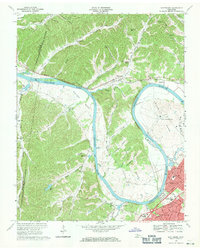
1968 Map of Scottsboro
USGS Topo · Published 1971About this map
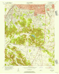
Whites Bend and Cockrill Bend dominate the path of the Cumberland River as it winds through this 1968 landscape on the outskirts of Nashville. The map captures a transitional moment where the industrial and institutional presence of the State Penitentiary and the Central Illinois Railroad meets the growing residential subdivisions of Charlotte Park and West Meade. Inland, the terrain is defined by a dense network of hollows, such as Bells Hollow and McCord Hollow, which isolate small community landmarks like the Scottsboro Mission and New Hope Ch. The creation of Cheatham Lake is evident, showing its effect on the low-lying islands and riverbanks. Genealogists will find value in the scattered cemeteries and rural school sites like Wade Sch, which served families before the suburban expansion reached deep into these wooded hills.
Find a feature on this map
66 named features on this map. Tap any name to fly to it.
Don’t see what you’re looking for? This feature index may not catch every label — zoom into the map to look around manually.
Map Details
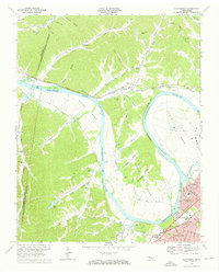
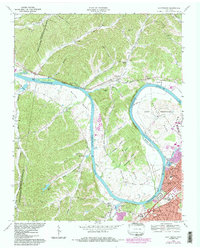
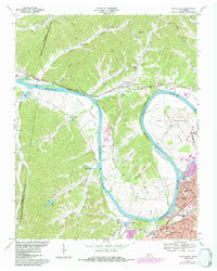
Editions of this 1968 Scottsboro Map
4 editions found
Other maps of this area

1903 · Nashville
USGS Topo · 1:125,000

1930 · White Bluff
USGS Topo · 1:62,500

1931 · Ridgetop
USGS Topo · 1:62,500

1932 · Nashville
USGS Topo · 1:62,500

1933 · White Bluff
USGS Topo · 1:62,500

1935 · Ridgetop
USGS Topo · 1:62,500

1952 · Nashville West
USGS Topo · 1:24,000
1953 · Oak Hill
USGS Topo · 1:24,000

1955 · Whites Creek
USGS Topo · 1:24,000

1955 · Forest Grove
USGS Topo · 1:24,000