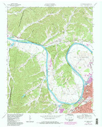
1968 Map of Scottsboro
USGS Topo · Published 1984About this map
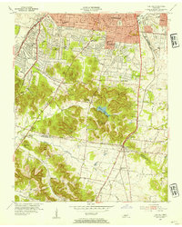
Cumberland River loops define the landscape west of Nashville, where the winding waterway creates massive peninsulas like Whites Bend and Cockrill Bend. This river-oriented geography is dominated by the State Penitentiary grounds on the eastern shore and the transition of the river into Cheatham Lake. The small community of Scottsboro sits along the Nashville and Ashland City Road, serving as a focal point for the surrounding hollows like Nickens Hollow and Cullum Hollow.
Find a feature on this map
69 named features on this map. Tap any name to fly to it.
Don’t see what you’re looking for? This feature index may not catch every label — zoom into the map to look around manually.
Map Details
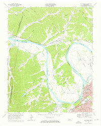
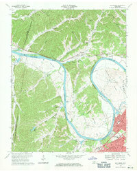
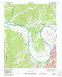
Editions of this 1968 Scottsboro Map
4 editions found
Other maps of this area

1903 · Nashville
USGS Topo · 1:125,000

1930 · White Bluff
USGS Topo · 1:62,500

1931 · Ridgetop
USGS Topo · 1:62,500

1932 · Nashville
USGS Topo · 1:62,500

1933 · White Bluff
USGS Topo · 1:62,500

1935 · Ridgetop
USGS Topo · 1:62,500

1952 · Nashville West
USGS Topo · 1:24,000
1953 · Oak Hill
USGS Topo · 1:24,000

1955 · Whites Creek
USGS Topo · 1:24,000

1955 · Forest Grove
USGS Topo · 1:24,000