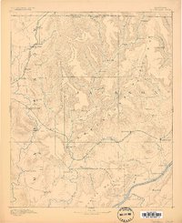
1892 Map of Scottsboro
USGS Topo · Published 1898About this map
The Tennessee River and the rugged dissected uplands of the Cumberland Plateau dominate this late 19th-century landscape. This survey, conducted by Louis Nell, reveals a region defined by its narrow valleys and river crossings. In the southeastern corner, the river serves as a vital corridor with numerous points of transit including Caldwell's Ferry, Larkin Landing, and the Section Ferry. These river links connected isolated valley communities to the wider commerce of the Tennessee Valley.
Find a feature on this map
85 named features on this map. Tap any name to fly to it.
Don’t see what you’re looking for? This feature index may not catch every label — zoom into the map to look around manually.
Map Details
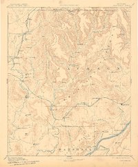
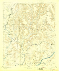
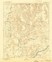
Editions of this 1892 Scottsboro Map
5 editions found
Other maps of this area

1885 · Gadsden
USGS Topo · 1:125,000

1886 · Stevenson
USGS Topo · 1:125,000

1888 · Cullman
USGS Topo · 1:125,000

1888 · Gadsden
USGS Topo · 1:125,000

1888 · Scottsboro
USGS Topo · 1:125,000

1888 · Huntsville
USGS Topo · 1:125,000

1892 · Cullman
USGS Topo · 1:125,000

1892 · Huntsville
USGS Topo · 1:125,000

1892 · Scottsboro
USGS Topo · 1:125,000

1892 · Stevenson
USGS Topo · 1:125,000