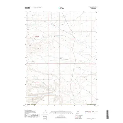
2017 Map of Scrivner Butte
USGS Topo · Published 2017About this map
Scrivner Butte and the surrounding high desert terrain of Sweetwater County define this corner of Wyoming. The landscape is deeply incised by drainages such as Birdie Gulch, Johnson Draw, and Whiskey Draw, all converging toward the larger catchment of Canyon Cr and the N Fork Vermillion Cr. Human activity in this arid region is primarily represented by a network of ranching and land management routes, including Rife Ranch Rd, Bitter Creek Rd, and various BLM access tracks that navigate the complex topography. Named features like Diamond Field and Horseshoe Basin suggest historical ranching and grazing uses, while reliable water sources such as McKnight Spring and Two Bar Spring serve as critical landmarks for navigating the high-elevation basins.
Find a feature on this map
26 named features on this map. Tap any name to fly to it.
Don’t see what you’re looking for? This feature index may not catch every label — zoom into the map to look around manually.
Map Details
Editions of this 2017 Scrivner Butte Map
This is the sole edition of this map. No revisions or reprints were ever made.
Other maps of this area

1954 · Vernal
USGS Topo · 1:250,000

1954 · Rock Springs
USGS Topo · 1:250,000

1958 · Vernal
USGS Topo · 1:250,000

1958 · Rock Springs
USGS Topo · 1:250,000

1960 · Vernal
USGS Topo · 1:250,000

1962 · Rock Springs
USGS Topo · 1:250,000

1963 · Four J Rim
USGS Topo · 1:24,000
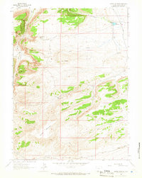
1963 · Potter Mountain
USGS Topo · 1:24,000

1963 · Erickson-Kent Ranch
USGS Topo · 1:24,000

1963 · Scrivner Butte
USGS Topo · 1:24,000