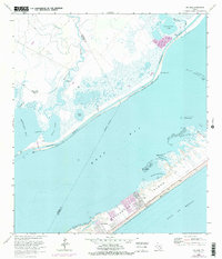
1963 Map of Sea Isle
USGS Topo · Published 1977About this map
Galveston Island stretches across the lower portion of this survey, showing the mid-1970s development of coastal communities like Sea Isle and Bay Harbor. Connected by the Termini San Luis Pass Road, these residential areas sit along the shore of West Bay, where numerous small inlets like Snake Island Cove and Maggies Cove create a complex shoreline for local navigation. North of the bay, the landscape is defined by vast marshlands and the winding path of Halls Bayou, which flows past isolated Fishing Cabins toward Halls Lake.
Find a feature on this map
35 named features on this map. Tap any name to fly to it.
Don’t see what you’re looking for? This feature index may not catch every label — zoom into the map to look around manually.
Map Details
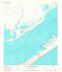
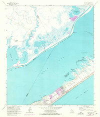
Editions of this 1963 Sea Isle Map
3 editions found
Other maps of this area

1929 · Karankawa Lake
USGS Topo · 1:24,000

1929 · Hitchcock
USGS Topo · 1:24,000

1929 · Virginia Point
USGS Topo · 1:24,000

1931 · Lake Como
USGS Topo · 1:24,000

1932 · Hitchcock
USGS Topo · 1:31,680

1932 · Mustang Bayou
USGS Topo · 1:31,680

1932 · Virginia Point
USGS Topo · 1:31,680

1933 · Karankawa Lake
USGS Topo · 1:31,680

1933 · San Luis Pass
USGS Topo · 1:31,680
1933 · Lake Como
USGS Topo · 1:31,680