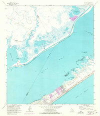
1963 Map of Sea Isle
USGS Topo · Published 1977About this map
Galveston Island defines the coastal landscape of this 1963 survey, revealing the early development of Sea Isle and Bay Harbor along the Gulf of Mexico. The map illustrates a transitional period for the Texas coast, where recreational and residential expansion met the established industrial path of the Intracoastal Waterway. To the west, the winding course of Halls Bayou flows past the Fishing Cabins and Rattlesnake Mound before entering the expansive Halls Lake.
Find a feature on this map
35 named features on this map. Tap any name to fly to it.
Don’t see what you’re looking for? This feature index may not catch every label — zoom into the map to look around manually.
Map Details
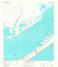
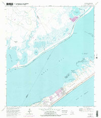
Editions of this 1963 Sea Isle Map
3 editions found
Other maps of this area

1929 · Karankawa Lake
USGS Topo · 1:24,000

1929 · Hitchcock
USGS Topo · 1:24,000

1929 · Virginia Point
USGS Topo · 1:24,000

1931 · Lake Como
USGS Topo · 1:24,000

1932 · Hitchcock
USGS Topo · 1:31,680

1932 · Mustang Bayou
USGS Topo · 1:31,680

1932 · Virginia Point
USGS Topo · 1:31,680

1933 · Karankawa Lake
USGS Topo · 1:31,680

1933 · San Luis Pass
USGS Topo · 1:31,680
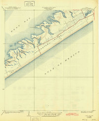
1933 · Lake Como
USGS Topo · 1:31,680