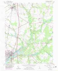
1955 Map of Seaford East
USGS Topo · Published 1983About this map
The Nanticoke River corridor serves as the central artery of this Delaware landscape, where the confluence of agriculture and industry is visible near Seaford and Blades. The transition from the 1950s into the early 1980s is preserved here, showing the development of Nanticoke Acres alongside older established points like Middleford and Coverdale Crossroads. Significant hydrologic features including Hearns Pond and Collins Pond anchor the drainage of many branches, while the presence of the Frederick Douglass Sch and Chaplins Chapel highlights the civic and religious centers of the rural community.
Find a feature on this map
54 named features on this map. Tap any name to fly to it.
Don’t see what you’re looking for? This feature index may not catch every label — zoom into the map to look around manually.
Map Details
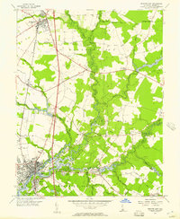
Editions of this 1955 Seaford East Map
2 editions found
Other maps of this area

1915 · Seaford
USGS Topo · 1:62,500

1917 · Millsboro
USGS Topo · 1:62,500

1918 · Cedar Creek
USGS Topo · 1:62,500

1918 · Harrington
USGS Topo · 1:62,500

1919 · Cedar Creek
USGS Topo · 1:62,500

1938 · Cedar Creek
USGS Topo · 1:62,500

1938 · Millsboro
USGS Topo · 1:62,500

1944 · Cedar Creek
USGS Topo · 1:62,500

1944 · Millsboro
USGS Topo · 1:62,500

1944 · Seaford
USGS Topo · 1:62,500