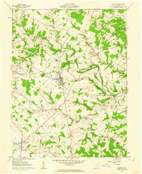
1961 Map of Seaman
USGS Topo · Published 1962About this map
Seaman serves as the primary hub of activity in this northern Adams County landscape during the early 1960s, situated where the Norfolk And Western railroad corridor meets the junction of several state routes. The settlement pattern reflects a deeply rooted rural community, with small nodes like Cherry Fork, Youngsville, and Harshasville connected by winding roads through the watershed of the West Fork Ohio Brush Creek. Significant attention is given to the local topography and conservation, with the expansive Tranquility State Wildlife Area dominating the northeast. Genealogists will find notable detail in the marking of several historic burial grounds and houses of worship, including Mt Leigh Cem, Mt Zion Cem, and the Wheat Ridge Chapel, alongside a Covered Bridge spanning the creek near Harshasville. These features highlight a mid-century transition where traditional agricultural life persisted alongside modern infrastructure like the local Filtration Plant.
Find a feature on this map
37 named features on this map. Tap any name to fly to it.
Don’t see what you’re looking for? This feature index may not catch every label — zoom into the map to look around manually.
Map Details
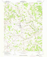
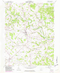
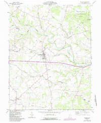
Editions of this 1961 Seaman Map
4 editions found
Other maps of this area

1915 · Bainbridge
USGS Topo · 1:48,000

1916 · Peebles
USGS Topo · 1:62,500

1917 · Bainbridge
USGS Topo · 1:62,500

1917 · Hillsboro
USGS Topo · 1:62,500

1918 · Peebles
USGS Topo · 1:62,500

1918 · Seaman
USGS Topo · 1:62,500

1944 · Hillsboro
USGS Topo · 1:62,500

1947 · Columbus
USGS Topo · 1:250,000

1957 · Huntington
USGS Topo · 1:250,000

1960 · Huntington
USGS Topo · 1:250,000