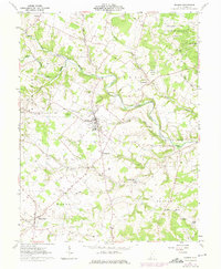
1961 Map of Seaman
USGS Topo · Published 1975About this map
Seaman serves as the primary hub of activity in this 1961 portrait of northern Adams County, where the Norfolk and Western railroad tracks cut a diagonal path across the rolling landscape. The town center is detailed with a Filtration Plant and High Sch, surrounded by outlying agrarian hamlets like Youngsville and Harshasville. The latter is notable for its Covered Bridge spanning Cherry Fork, a tributary of the larger Ohio Brush Creek system. To the north, the Tranquility State Wildlife Area dominates the terrain, preserving a pocket of undeveloped land amidst the townships of Winchester, Scott, Wayne, and Oliver. The map meticulously preserves the locations of local landmarks vital to genealogical research, including the Mt Leigh Cem, Mt Zion Cem, and the Wheat Ridge Chapel situated in the southeastern corner of the quadrangle.
Find a feature on this map
33 named features on this map. Tap any name to fly to it.
Don’t see what you’re looking for? This feature index may not catch every label — zoom into the map to look around manually.
Map Details
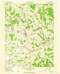
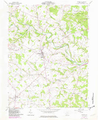
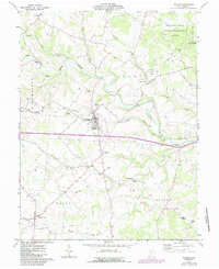
Editions of this 1961 Seaman Map
4 editions found
Other maps of this area

1915 · Bainbridge
USGS Topo · 1:48,000

1916 · Peebles
USGS Topo · 1:62,500

1917 · Bainbridge
USGS Topo · 1:62,500

1917 · Hillsboro
USGS Topo · 1:62,500

1918 · Peebles
USGS Topo · 1:62,500

1918 · Seaman
USGS Topo · 1:62,500

1944 · Hillsboro
USGS Topo · 1:62,500

1947 · Columbus
USGS Topo · 1:250,000

1957 · Huntington
USGS Topo · 1:250,000

1960 · Huntington
USGS Topo · 1:250,000