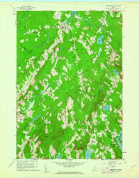
1960 Map of Searsmont
USGS Topo · Published 1962About this map
The St George River winds through this mid-coast Maine landscape, anchoring a series of small rural communities and named crossroads in the early 1960s. The village of Searsmont sits near the head of Quantabacook Lake, while the surrounding terrain is defined by prominent elevations like Appleton Ridge and Muzzy Ridge. This survey reveals a high density of small, family-named landmarks and corners such as Knights Corner, Pitmans Corner, and Gushees Corner, which illustrate the localized settlement patterns of Waldo and Knox Counties.
Find a feature on this map
54 named features on this map. Tap any name to fly to it.
Don’t see what you’re looking for? This feature index may not catch every label — zoom into the map to look around manually.
Map Details
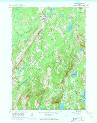
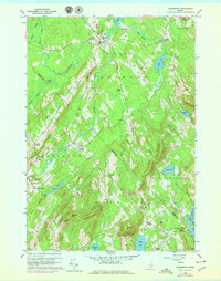
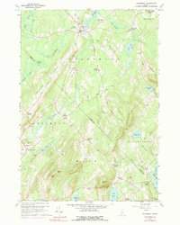
Editions of this 1960 Searsmont Map
4 editions found
Other maps of this area

1904 · Rockland
USGS Topo · 1:62,500

1906 · Rockland
USGS Topo · 1:62,500

1913 · Waldoboro
USGS Topo · 1:48,000

1915 · Waldoboro
USGS Topo · 1:62,500

1915 · Belfast
USGS Topo · 1:62,500

1916 · Liberty
USGS Topo · 1:62,500

1917 · Belfast
USGS Topo · 1:62,500

1941 · Belfast
USGS Topo · 1:62,500

1941 · Rockland
USGS Topo · 1:62,500

1941 · Waldoboro
USGS Topo · 1:62,500