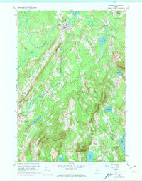
1960 Map of Searsmont
USGS Topo · Published 1974About this map
The St George River winds through this Midcoast Maine landscape, connecting the rural communities of Searsmont and Appleton. This mid-century survey illustrates a region defined by its narrow ridges and scattered agricultural hamlets, where the boundary between Waldo and Knox counties bisects several significant hills and valleys. High points like Hatchet Mtn and Muzzy Ridge overlook a network of ponds, including Moody Pond and Hobbs Pond, which provided the water power for local industry such as Shermans Mill.
Find a feature on this map
56 named features on this map. Tap any name to fly to it.
Don’t see what you’re looking for? This feature index may not catch every label — zoom into the map to look around manually.
Map Details
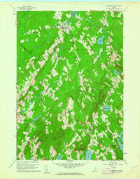
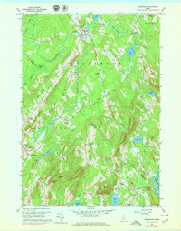
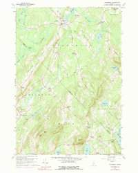
Editions of this 1960 Searsmont Map
4 editions found
Other maps of this area

1904 · Rockland
USGS Topo · 1:62,500

1906 · Rockland
USGS Topo · 1:62,500

1913 · Waldoboro
USGS Topo · 1:48,000

1915 · Waldoboro
USGS Topo · 1:62,500

1915 · Belfast
USGS Topo · 1:62,500

1916 · Liberty
USGS Topo · 1:62,500

1917 · Belfast
USGS Topo · 1:62,500

1941 · Belfast
USGS Topo · 1:62,500

1941 · Rockland
USGS Topo · 1:62,500

1941 · Waldoboro
USGS Topo · 1:62,500