
1947 Map of Seaside
USGS Topo · Published 1948About this map
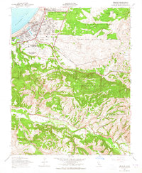
The coastal community of Seaside and the massive Fort Ord Military Reservation dominate this post-war landscape on the shores of Monterey Bay. In the years following the war, the region reflects a transition from early ranchos to military utility and modern aviation. The coastal corridor is defined by the Southern Pacific line and landmarks like the Hotel Del Monte, while the interior reveals the legacy of Spanish land grants through named tracts like Saucito and Laguna Seca.
Find a feature on this map
45 named features on this map. Tap any name to fly to it.
Don’t see what you’re looking for? This feature index may not catch every label — zoom into the map to look around manually.
Map Details
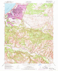
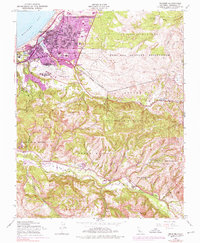
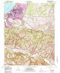
Editions of this 1947 Seaside Map
5 editions found
Other maps of this area

1910 · Salinas
USGS Topo · 1:31,680

1912 · Salinas
USGS Topo · 1:62,500

1913 · Monterey
USGS Topo · 1:62,500

1918 · Point Sur
USGS Topo · 1:62,500

1920 · Jamesburg
USGS Topo · 1:48,000

1921 · Jamesburg
USGS Topo · 1:62,500

1925 · Point Sur
USGS Topo · 1:62,500

1939 · Jamesburg
USGS Topo · 1:62,500

1940 · Salinas
USGS Topo · 1:62,500

1940 · Jamesburg
USGS Topo · 1:62,500