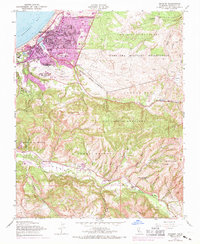
1947 Map of Seaside
USGS Topo · Published 1970About this map
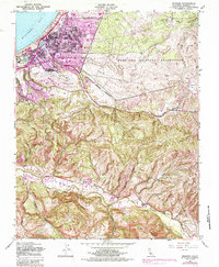
The coastal transition from Monterey Bay to the interior ridges of the Santa Lucia Range is captured here during a period of significant mid-century growth. Settlement is concentrated in the developed urban areas of Seaside and Noche Buena, while the Fort Ord Military Reservation dominates the northeastern landscape. The map illustrates a region where recreation and infrastructure meet, from the Monterey Municipal Airport and Monterey County Fairgrounds to several coastal golf courses including the Navy Golf Course. To the south, the terrain becomes increasingly complex as it descends into the Carmel River valley. This area includes the Los Laureles region and numerous deep canyons such as Coyote Canyon and Wildcat Canyon, reflecting the historic land divisions of the James Meadows and CañAda De La Segunda ranchos.
Find a feature on this map
55 named features on this map. Tap any name to fly to it.
Don’t see what you’re looking for? This feature index may not catch every label — zoom into the map to look around manually.
Map Details
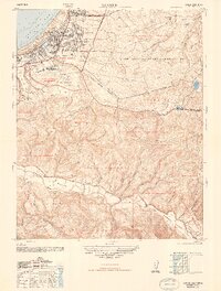
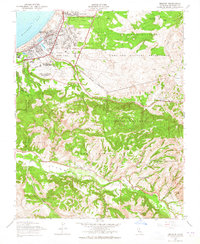
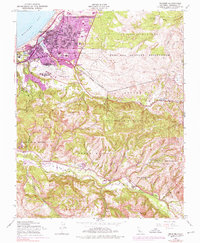
Editions of this 1947 Seaside Map
5 editions found
Other maps of this area

1910 · Salinas
USGS Topo · 1:31,680

1912 · Salinas
USGS Topo · 1:62,500

1913 · Monterey
USGS Topo · 1:62,500

1918 · Point Sur
USGS Topo · 1:62,500

1920 · Jamesburg
USGS Topo · 1:48,000

1921 · Jamesburg
USGS Topo · 1:62,500

1925 · Point Sur
USGS Topo · 1:62,500

1939 · Jamesburg
USGS Topo · 1:62,500

1940 · Salinas
USGS Topo · 1:62,500

1940 · Jamesburg
USGS Topo · 1:62,500