
1896 Map of Sebago
USGS Topo · Published 1896About this map
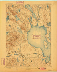
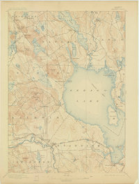
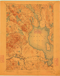
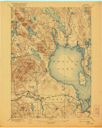
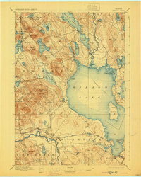
Sebago Lake dominates this landscape in the late nineteenth century, serving as a vital nexus for both transportation and industry. The presence of the Steamboat Route crossing the open waters toward Naples and Long Lake illustrates a period when waterborne travel was essential for moving people and goods through the interior. At the lake's northern edge, the Songo Lock and the winding Songo River connect different elevations of the waterway, while the Crooked River feeds into the basin from the northeast.
Find a feature on this map
81 named features on this map. Tap any name to fly to it.
Don’t see what you’re looking for? This feature index may not catch every label — zoom into the map to look around manually.
Map Details
Editions of this 1896 Sebago Map
8 editions found
Other maps of this area

1891 · Portland
USGS Topo · 1:62,500

1891 · Buxton
USGS Topo · 1:62,500

1891 · Newfield
USGS Topo · 1:62,500

1892 · Buxton
USGS Topo · 1:62,500

1893 · Portland
USGS Topo · 1:62,500

1893 · Buxton
USGS Topo · 1:62,500

1893 · Newfield
USGS Topo · 1:62,500

1894 · Gray
USGS Topo · 1:62,500

1896 · Norway
USGS Topo · 1:62,500

1898 · Gray
USGS Topo · 1:62,500