
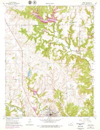
1962 Map of Sedan
USGS Topo · Published 1963About this map
The town of Sedan serves as the focal point of this Chautauqua County survey, positioned at the junction of the Missouri Pacific railroad and the waters of Middle Caney Creek. The landscape is defined by the winding paths of North Caney Creek and Turkey Creek, which carve through the terrain of Center, Lafayette, and Summit townships. This 1960s record captures the industrial footprint of the region's energy production, with a sprawling Oil Field and numerous Oil Wells peppered across the countryside.
Find a feature on this map
28 named features on this map. Tap any name to fly to it.
Don’t see what you’re looking for? This feature index may not catch every label — zoom into the map to look around manually.
Map Details
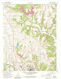
Editions of this 1962 Sedan Map
3 editions found
Other maps of this area

1885 · Sedan
USGS Topo · 1:125,000

1889 · Sedan
USGS Topo · 1:125,000

1955 · Wichita
USGS Topo · 1:250,000

1958 · Wichita
USGS Topo · 1:250,000
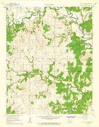
1962 · Oak Valley
USGS Topo · 1:24,000

1962 · Moline
USGS Topo · 1:24,000
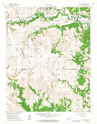
1962 · Elk Falls
USGS Topo · 1:24,000

1962 · Elgin NE
USGS Topo · 1:24,000
1962 · Elgin
USGS Topo · 1:24,000
1962 · Hale
USGS Topo · 1:24,000