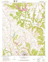
1962 Map of Sedan
USGS Topo · Published 1979About this map
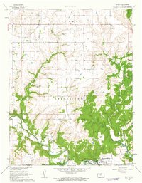
Sedan serves as the focal point of this Chautauqua County survey, which reveals a landscape defined by the intersection of early Midwestern infrastructure and natural drainage. The Missouri Pacific railroad cuts through the terrain, while an extensive Oil Field with numerous Oil Wells and a Gas Well suggests the region's industrial foundations in the early 1960s. Local history is anchored by sites like Union Chapel, Greenwood Cem, and St Charles Cem, which provide specific points of interest for genealogists tracing family ties to these townships.
Find a feature on this map
30 named features on this map. Tap any name to fly to it.
Don’t see what you’re looking for? This feature index may not catch every label — zoom into the map to look around manually.
Map Details
Editions of this 1962 Sedan Map
3 editions found
Other maps of this area

1885 · Sedan
USGS Topo · 1:125,000

1889 · Sedan
USGS Topo · 1:125,000

1955 · Wichita
USGS Topo · 1:250,000

1958 · Wichita
USGS Topo · 1:250,000
1962 · Oak Valley
USGS Topo · 1:24,000

1962 · Moline
USGS Topo · 1:24,000
1962 · Elk Falls
USGS Topo · 1:24,000

1962 · Sedan
USGS Topo · 1:24,000

1962 · Elgin NE
USGS Topo · 1:24,000
1962 · Elgin
USGS Topo · 1:24,000