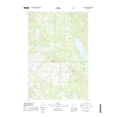
2020 Map of Seeley Lake West
USGS Topo · Published 2020About this map
The Lolo National Forest dominates this section of Missoula County, where a network of forest roads and trails reveals the complex management of Montana's timberlands. The Clearwater River serves as a central artery, flowing south into Seeley Lake and eventually connecting toward the lower basins. The landscape is defined by its water resources, from the significant recreational waters of Placid Lake to more secluded spots like Hidden Lake and Lake Elsina.
Find a feature on this map
43 named features on this map. Tap any name to fly to it.
Don’t see what you’re looking for? This feature index may not catch every label — zoom into the map to look around manually.
Map Details
Editions of this 2020 Seeley Lake West Map
This is the sole edition of this map. No revisions or reprints were ever made.
Other maps of this area

1902 · Ovando
USGS Topo · 1:125,000

1905 · Ovando
USGS Topo · 1:125,000

1921 · Elbow Lake
USGS Topo · 1:125,000

1955 · Choteau
USGS Topo · 1:250,000

1957 · Choteau
USGS Topo · 1:250,000

1958 · Choteau
USGS Topo · 1:250,000

1962 · Choteau
USGS Topo · 1:250,000

1965 · Upper Jocko Lake
USGS Topo · 1:24,000
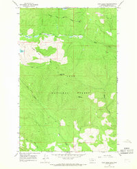
1965 · Gold Creek Peak
USGS Topo · 1:24,000

1965 · Seeley Lake West
USGS Topo · 1:24,000